Showing posts with label autumn. Show all posts

Sunday, January 17, 2010

Who says there's no autumn in Florida? Leaves and other things in a ditch

web_leaves_floridahori_0029_2448
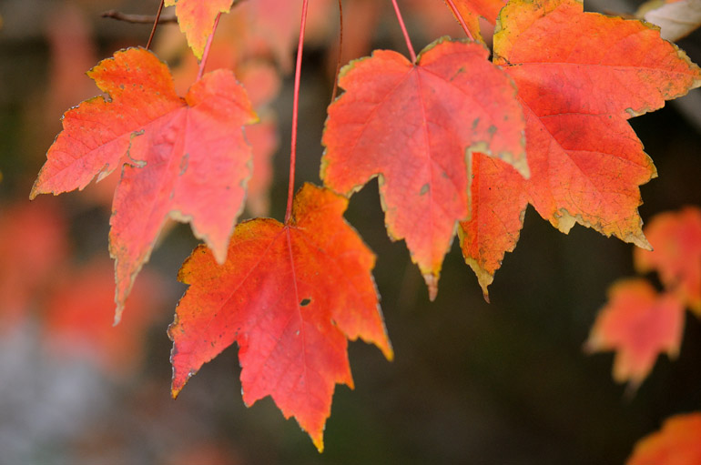
Florida maple leaves turn a bright red along Parkway Drive in Melbourne.


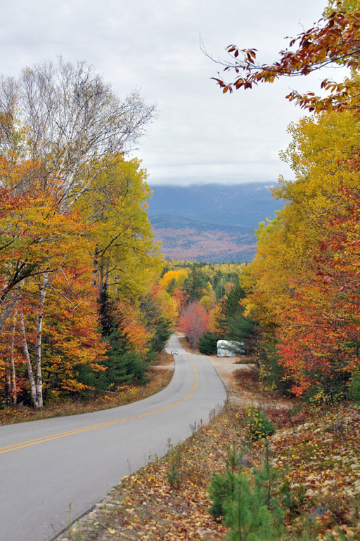
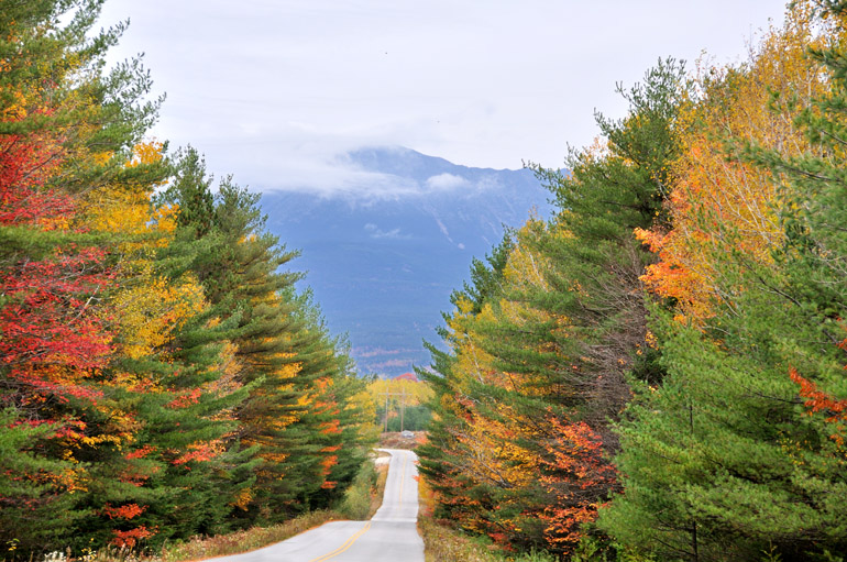
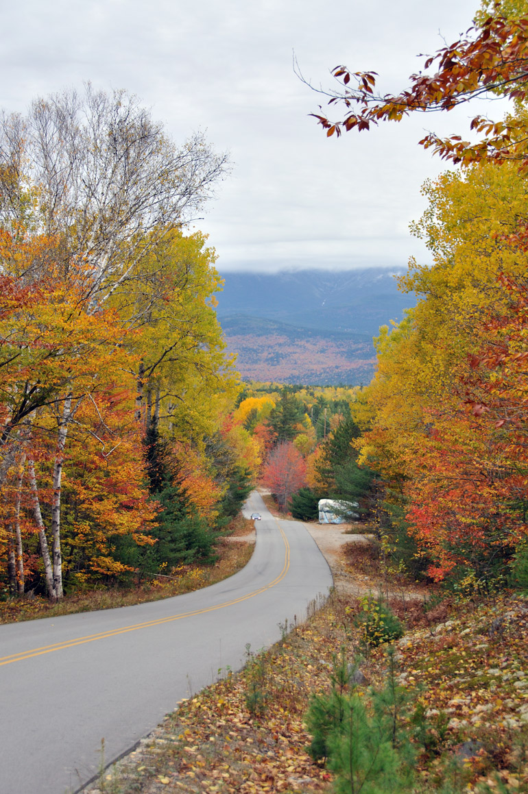
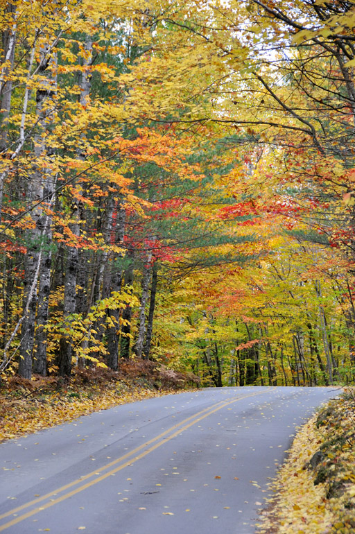
Many posts on The Offlede are driven by my own longing for home - for the sights, tastes and activities I grew up with in Maine. I flew there in October to take photos of fall foliage. I spent 20 days in December looking for signs of Christmas here in Florida that reminded me of the traditions I'm accustomed to during the holidays. And in the past two weeks, my search for ice and snow started here in Central Florida and ended way up north in mountainous West Virginia. There's more to come on that later.

Sometimes, though, I just lose track of what lies under my nose here in Florida. Yes, the climate is subtropical, but there are elements of the north that still survive here. There are no apple trees or sugar maples, the things I frequently associate the autumn season with. We do have Florida maple trees, though. They don't provide the brilliant color that northerly varietals do, but it's something, and it's something that reminds me of home.

This week, during my daily jogs, I noticed that the trees along my route were changing colors. One was a nearly fluorescent yellow and blanketed a home's lawn with fallen leaves. The Florida maples, situated along a water-filled ditch, turned to a solid red. I took may camera out yesterday to record that fall indeed does show itself in Florida, however subtle - and late - it may be.

Maybe this place isn't so bad after all.


web_leaves_floridavert_0021_2447
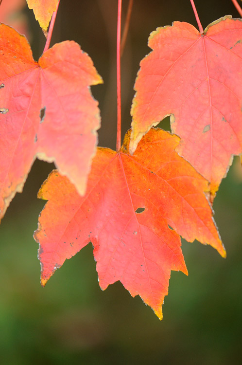
After living here for more than two years, I'm beginning to notice the less dominant aspects of Florida's environment. Once I got beyond the shock of encountering palm trees at every turn, I saw the pine trees and maples, such as this one, that are reminiscent of my childhood in Maine, the "Pine Tree State."

web_leaves_ditch_0011_2446
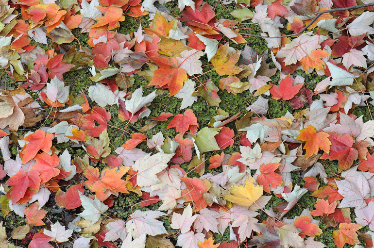
Fallen leaves cover the surface of a ditch.

web_car_accident_0069
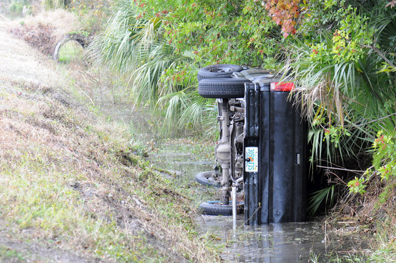
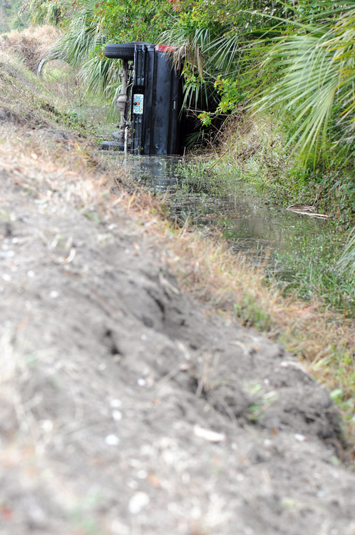
The leaves weren't the only things in the ditch. This single-car accident happened just as I arrived to take photos of the trees. The lone driver was unhurt.

web_car_accident_vert_0067
The young motorist became distracted, hit this soft embankment and flipped into the ditch.

Thursday, November 12, 2009

Maine's autumn, Day 7 | That rainbow again, in panoramic form

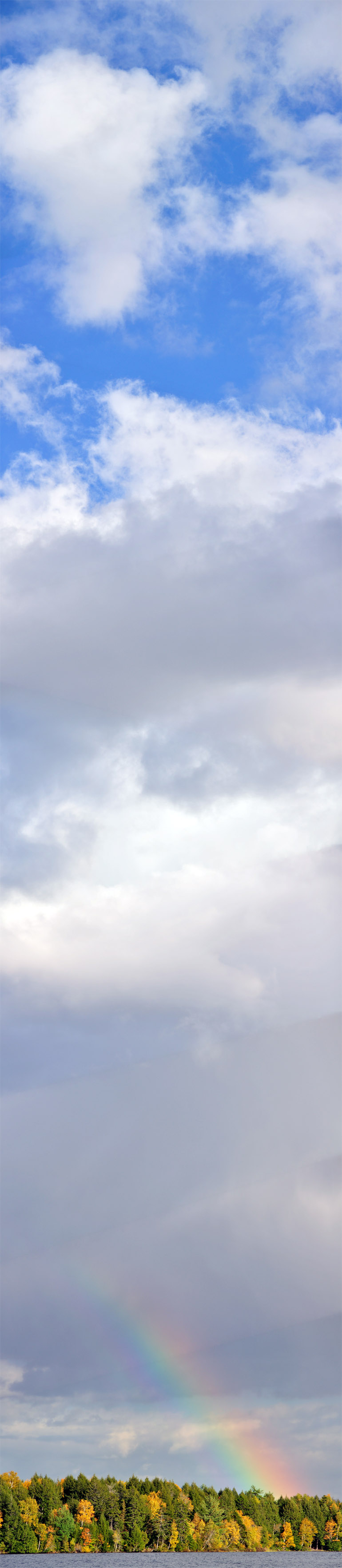
RainbowPanoFinal
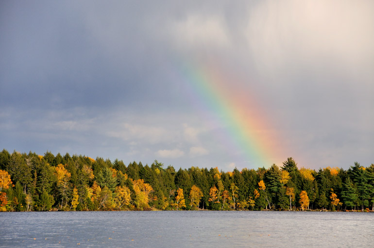
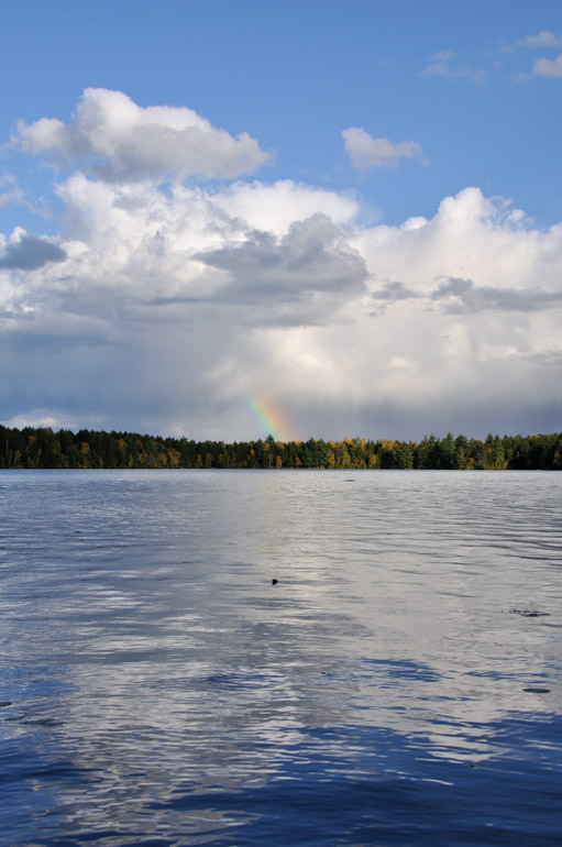
A partial rainbow formed behind my parents' house during my vacation, and I had planned to stitch nine photos together for a vertical panorama, showing the blue sky above it. The process wasn't seamless, unfortunately, and that's why there are faint diagonal lines marring the final product. I'm still learning some of the methods to avoid this, though, so bear with me.

Sunday, November 8, 2009

Maine's autumn, Day 8 | Clear sky, just in time for my flight home

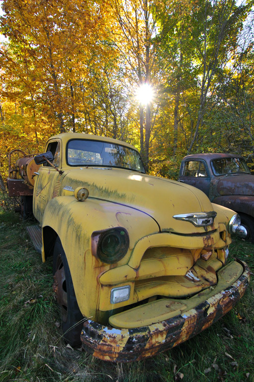
truck_0009
Day 8 of my Maine vacation consisted of a trip to the airport, sadly. Along the way in Topsfield, about 15 minutes north of Princeton on U.S. 1, I stopped to shoot this old yellow Chevy, with the yellow trees and the golden morning sun in the background.

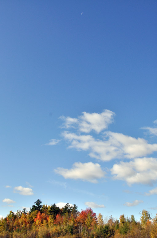
blue_sky_0021
Of course, the day I left for Florida, the sky had cleared, offering better leaf-peeping conditions than any of the previous days I had spent in Maine. On the way to the airport, this time in Lincoln, I just wanted to show people that blue sky really does exist in the state.

ships_0042
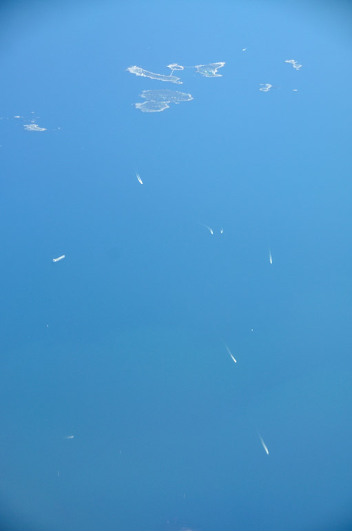
Now in the air and headed back to the Sunshine State, I spotted a stream of ships steaming toward the New England coast.

cape_cod_clouds_0050
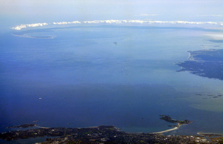
From the Boston area, passengers on my Allegiant flight to Sanford, Fla., saw a bank of clouds covering only the curving land mass of Cape Cod. The morning seabreeze brings cool air off the ocean, and when that collides with the warming land, the air rises, and the moisture condenses into clouds.

storm_front_0054
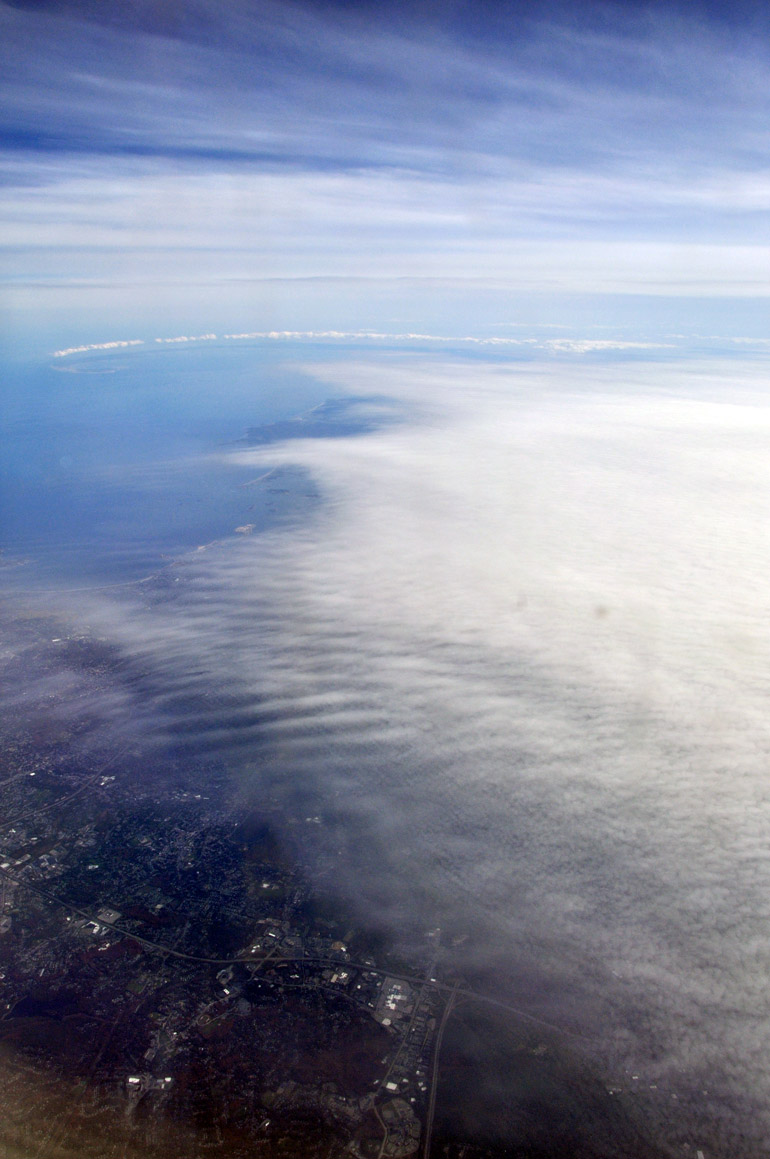
The pilot warned us that as we flew south of New England, the weather would get a little more active. Here, the plane approaches thick cloud cover. Again, Cape Cod is in the distance. We experienced only slight turbulence.

daytona_0063
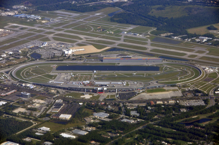
Because of the clouds, I didn't pull out my camera again until the plane began its descent over Florida. That's when I spotted Daytona International Speedway in Daytona Beach.

plane_shadow_0071
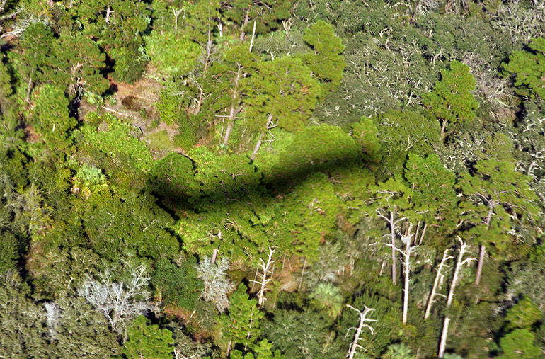
Seconds from landing, the plane cast a shadow onto the pine and palm trees below. Not much for fall foliage here in Florida, is there?

Saturday, November 7, 2009

Maine's autumn, Day 7 | A deer, a rainbow and a ruby in a pot of gold

deer_0027
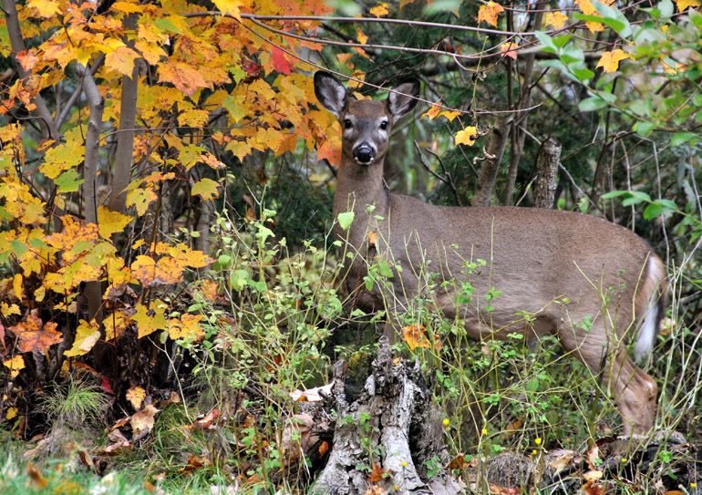
On the last full day of my Maine vacation, a Sunday, my family and I stayed close to home, but that didn't prevent us from seeing some sights. In a neighbor's backyard in Princeton, we spotted this doe lazily browsing through the grass. As a child, I'd see deer once in a while along the half-mile dirt road that leads to my parents' house, but they'd seem to always disappear for hunting season in November. This time, though, I finally got a chance to shoot one.

rain_0032
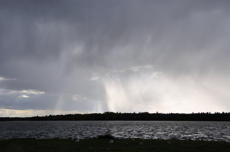
A rain shower moves over Lewy Lake, a small body of water near "downtown" Princeton and adjacent to Grand Falls Flowage, along which I lived as a child. Because the sun was shining brightly, I thought the chances of a rainbow were decent.

double_rainbow_0036
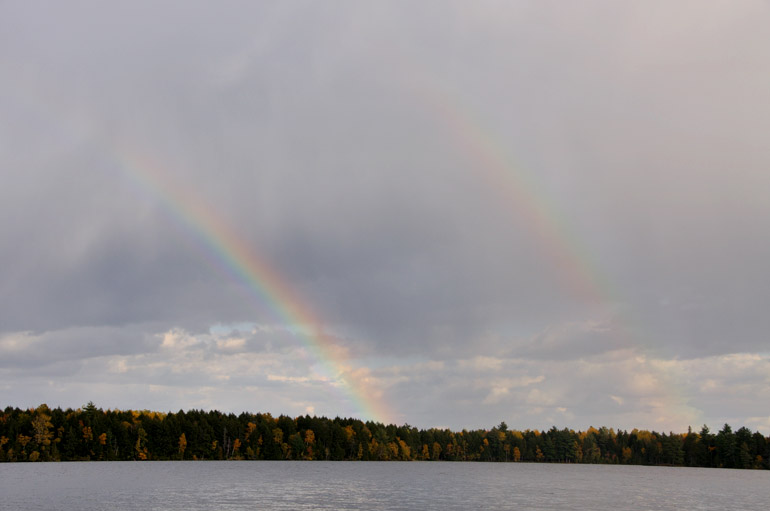
Sure enough, a rainbow with a faint secondary arc formed behind my parents' house along the flowage. Previously, in the Day 6 post, you saw the view in front of the house. But because I lived on the end of a peninsula, the location afforded us views on three sides.

rainbow_close_0088
The rainbow got shorter as the dark clouds behind it moved farther to the south. But what little was left became even more brilliant.

rainbow_blue_0098
After days of overcast skies, the storm moves away, and the atmosphere finally clears. Ironically, though, it was late in the day, and, of course, it was also my last day in Maine.

red_leaf_0114
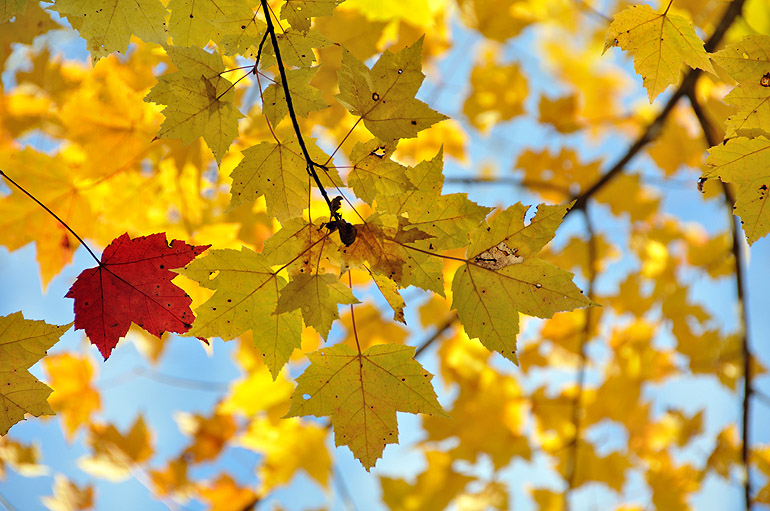
As mentioned in the headline, that ruby in a pot of gold after the rainbow was just a scene I noticed when I looked upward at the blue sky. In a stand of maple trees, all the leaves were a bright yellow, except for this red one. This happens to be one of my favorite shots from the entire vacation. It's amazing how sunlight makes such scenes so much prettier.

sunset_0127
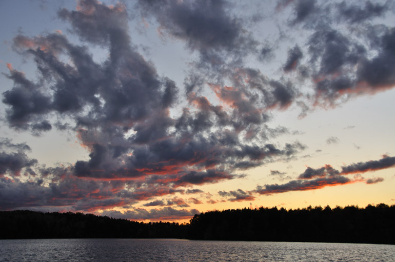
As the sky continued to clear, the sun faded.

star_trails_composite_0135
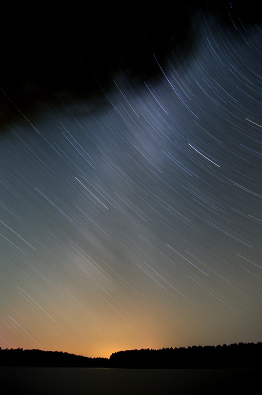
This layered image combines two 30-minute exposures of star trails and the Milky Way.

Friday, November 6, 2009

Maine's autumn, Day 6 | Windmills, turkeys and the Milky Way

lake_0018
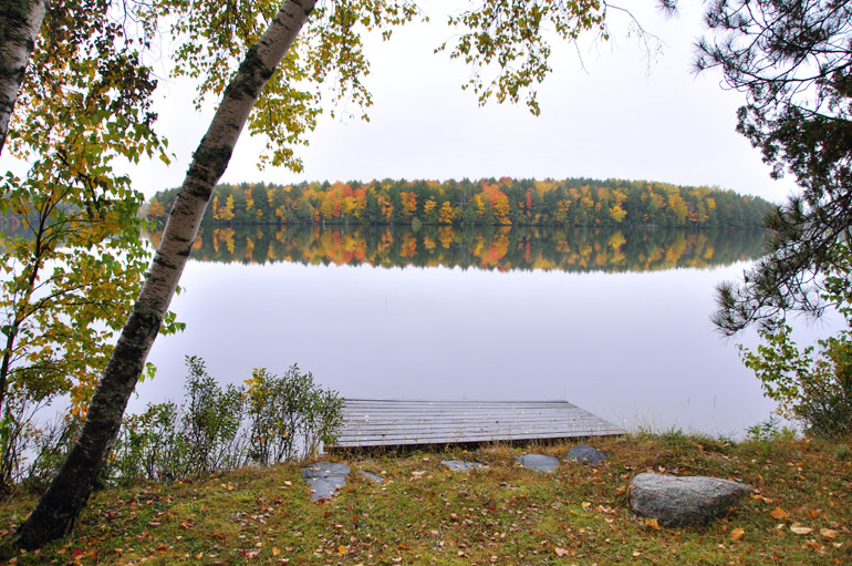
The excursion started at home, of course, where I took a photo of the view I woke up to every day for 18 years. It was before the wind picked up, so the surface of Grand Falls Flowage, part of a chain of lakes along Maine's eastern border with Canada, was like glass. The sky, however, was still overcast.


Day 6, the Saturday during my Maine vacation, included a family trip across Route 6 in Washington County, a major east-west route. And when I say "major," I mean it's a hilly, pothole-pocked roadway through the middle of nowhere.

We then took a smaller road north to the Danforth area of northern Washington County.


windmills_0104
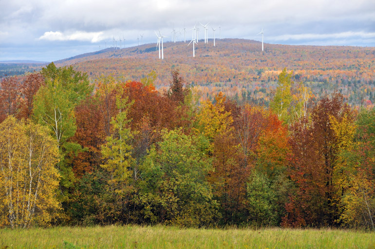
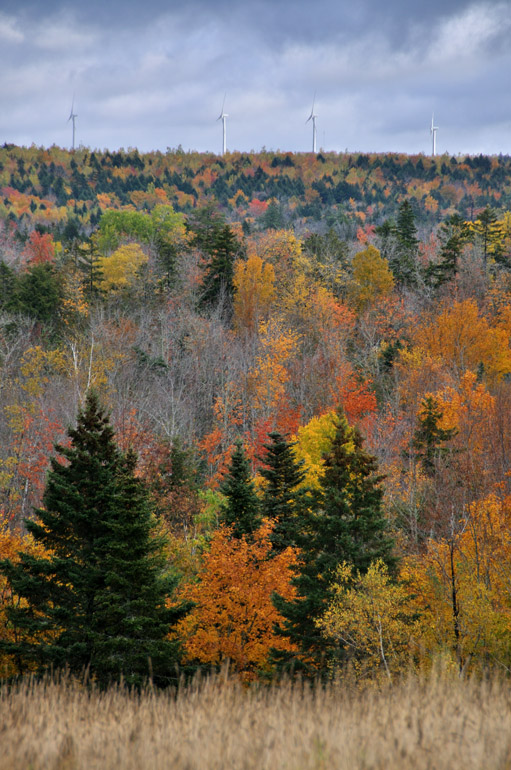
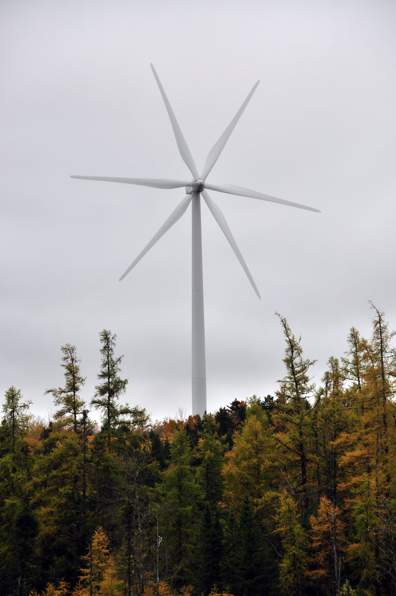
Along Route 6, near the border of Washington and Penobscot counties, is one of the first instances of a new trend in Maine: wind power. These windmills were constructed along a high ridge, called Stetson Mountain. Maine has harnessed wind power for years with the use of sailboats. But this new mode of energy generation has been met with some resistance, especially from hikers and environmentalists along the Appalachian Trail, who thought the windmills would mar the area's natural beauty. Personally, I think the windmills themselves are kind of attractive.

windmills_dark_0108
The wind had picked up considerably after we embarked on our journey, so these pinwheels were moving swiftly.

WindmillLapsed
This is the closest we got to the windmills. This shot is a composite of two separate images, showing the three blades in different positions. The photos were layered in Photoshop.

hill_road_0113
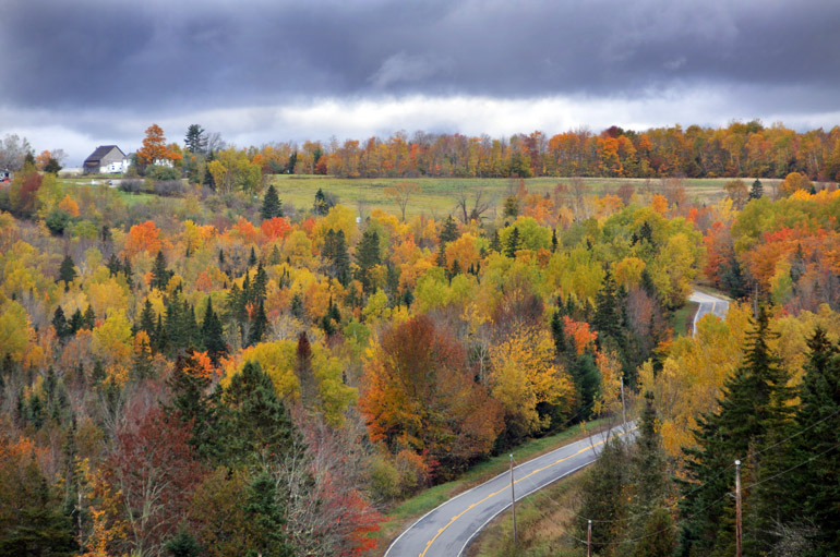
On a backwoods road off Route 6, a house on a distant hill caught my eye.

sign_0205
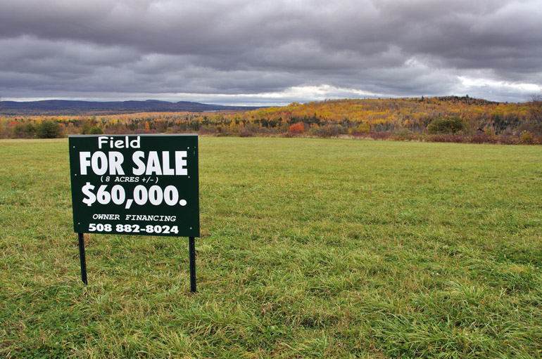
Even with real estate as defunct as it is in Florida, you still can't get a deal like this - or a view like this one.

yellow_field_0207
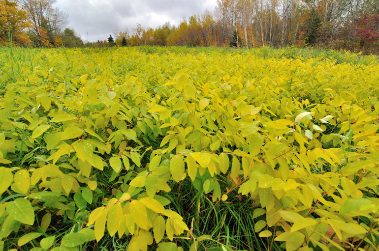
A field was covered in leafy bushes that were turning yellow.

parts_0212
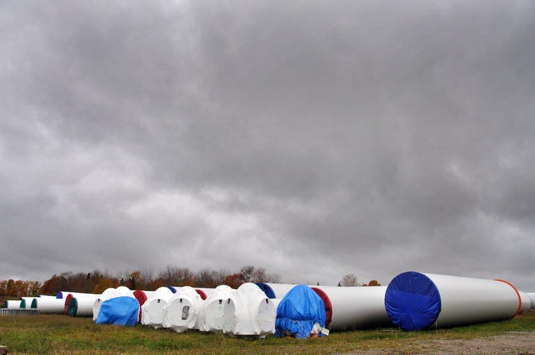
Along a road off Route 6, we ran into a storage field for windmill parts. The area was marked with "no trespassing" signs. I told my parents that I often trespass on private property to get photos. But they were having none of that, so I settled for a shot from the side of the road.

milliondollar_0150
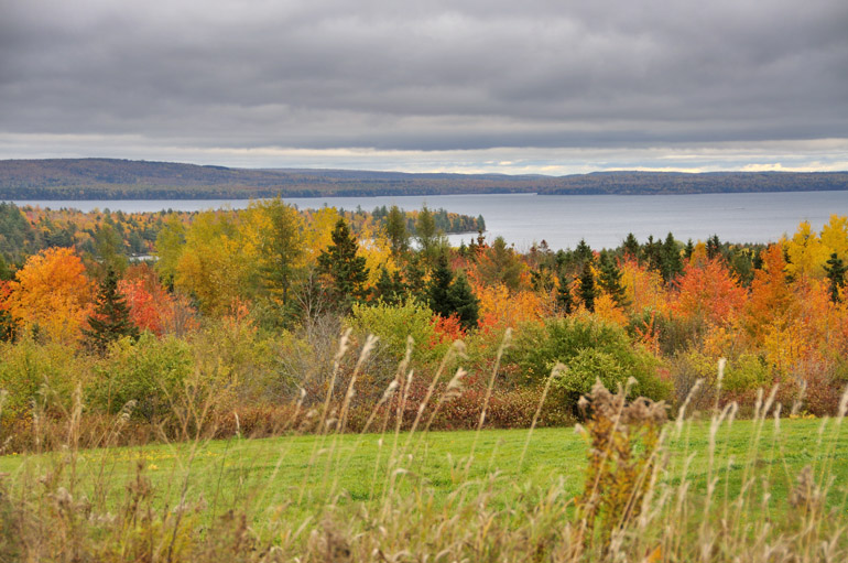
This was taken along the Million Dollar View Scenic Byway, an eight-mile stretch of U.S. 1 that looks eastward to New Brunswick, Canada. The lake is West Grand in northern Washington County, nicknamed the Sunshine County because it's the first in the United States to be graced by the sun's rays each day.

turkeys_0268
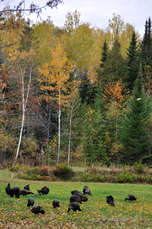
Wild turkeys are making a resurgence in eastern Maine. While he was driving, my father spotted these dozens grazing in someone's backyard (this photo doesn't show the whole group).

turkey_0283
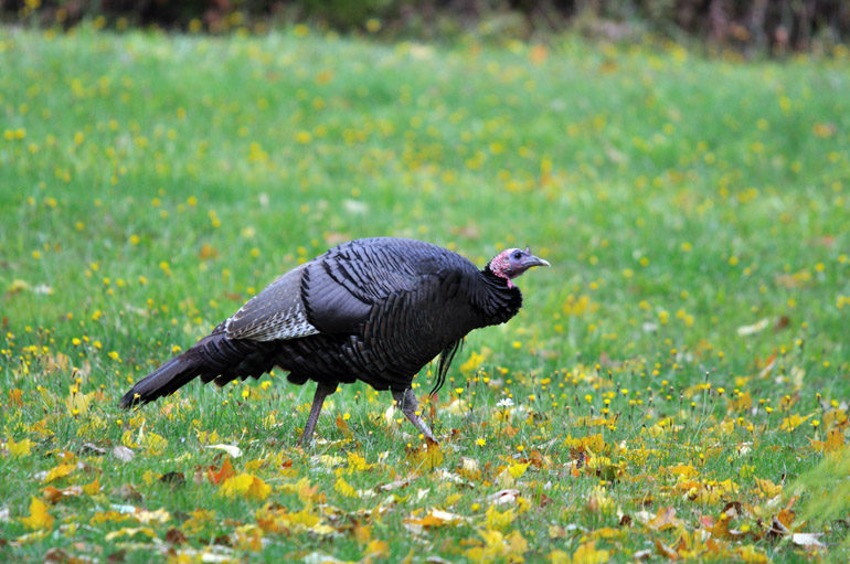
My photography eventually made the turkeys rather anxious, and they scurried off.

milky_way_0329
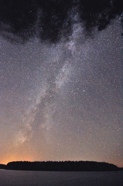
Back at home, after sunset, the sky cleared, and I took some exposures of the Milky Way Galaxy, something astronomers can't easily make out in most parts of Florida.

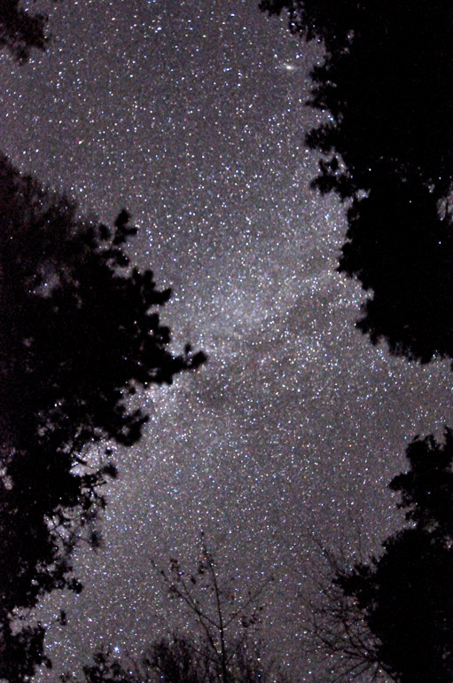
stars_above_0334
For this shot, the camera was pointed at a 90-degree angle upward, showing the stars and the treetops.

trails_above_0335
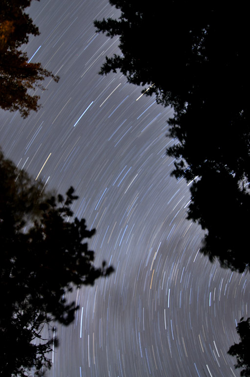
Here, the camera's shutter was open for its longest possible exposure: 30 minutes. It shows the circular trails of the stars as Earth spins on its axis.

Monday, November 2, 2009

Maine's autumn, Day 5 | Mount Katahdin and one ugly moose

moose_photog_0159
Moose are so used to people at Baxter State Park that they frequently make close passes that normally wouldn't be seen in the wild. If this had happened outside the park, I'm sure someone with a rifle would have ended it, especially considering it was moose season. This is probably my favorite shot of the day.

topsfield_0005
Day 5, a Friday, of my Maine vacation was a solo trip two and a half hours north of Princeton to Baxter State Park, home of Mount Katahdin and lots of moose. Driving on U.S. 1, I got distracted, though, and shot the sun poking through the clouds just after sunrise. Unfortunately, it was the most sun I would see all day.


house_0015
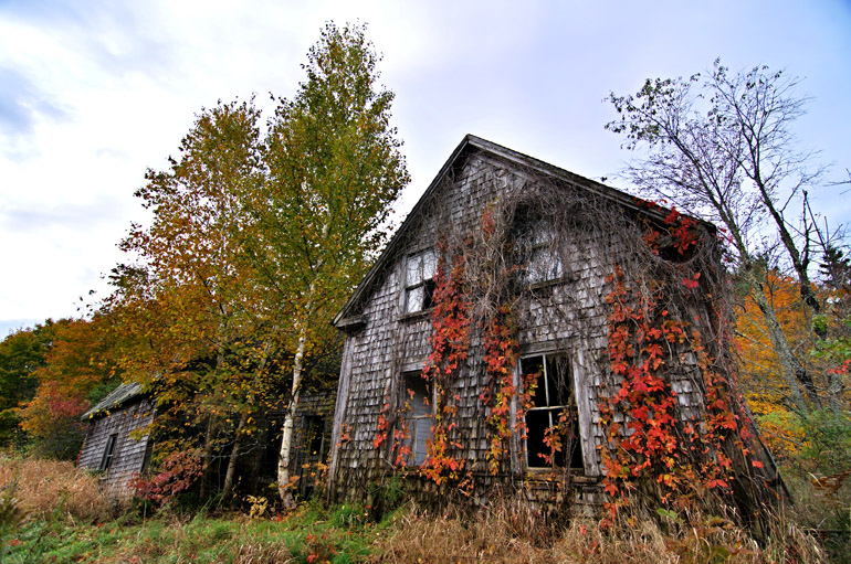
This old, ratty house caught my eye along Route 6, an east-west highway that winds through the hilly, rural terrain of western Washington County and eastern Penobscot County.

sign_0035
Just north of Millinocket, the closest town to Mount Katahdin, I took this exposure of the road leading to the park and of the foliage surrounding it.

golden_road_0033
Golden Road offered come gorgeous views of the cloud-shrouded Mount Katahdin, which rises about a mile above sea level.

sign_0035
As I got closer to the park, the clouds grew thicker, completely hindering the top of the mountain from view. The conditions weren't good for a climb in the first place, but because I had left my parents' house later than expected, I wouldn't have had time to make a leisurely hike anyway. But I've already climbed the mountain several times, so it wasn't a priority.

park_road_0041
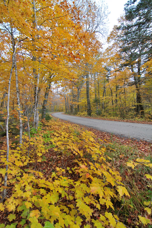
Before the tar road turned to dirt, I took some shots of the trees overhanging the route.

photographers_0065
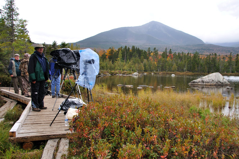
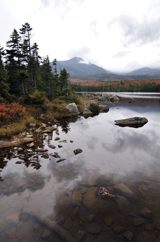
Now deep into the park, I hiked about a mile to Sandy Stream Pond, one of the most popular places in the state for viewing moose. The clean body of water draws photographic tourists from throughout the nation, including some I met from Wyoming and New York City. This group had seen a moose earlier in the morning and was waiting for the animals to make a repeat appearance. Like me, however, they were not happy with the overcast, low-hanging sky, which made for very poor lighting conditions.

reflections_0074
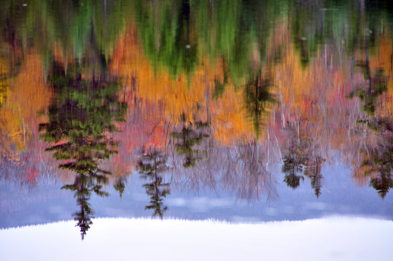
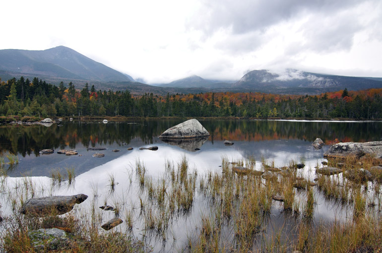
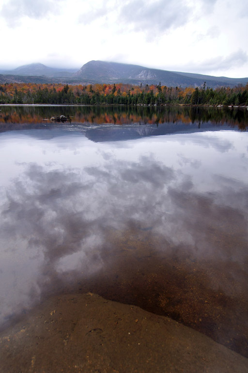
The reflections on the surface of Sandy Stream Pond look more like a painting, an effect caused by a slight ripple on the surface.

still_sandy_stream_0075
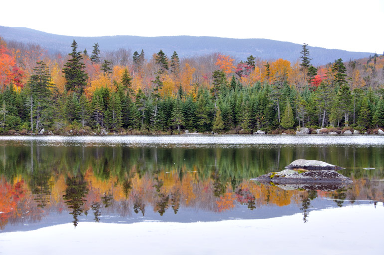
It was raining when I arrived at the pond, but it stopped shortly after, allowing for a more placid look to the surface.

mountain_0081
My family always has said that you can't be a true Mainer until you've climbed Mount Katahdin and become a regular drinker of Moxie, the official soft drink of the state. I say you can't be a Mainer until you've done both of those things at the same time, a feat I've achieved a countless number of times. For this trip, I settled for sipping the bitter cola from the shore of Sandy Stream Pond.

mountain_water_0085
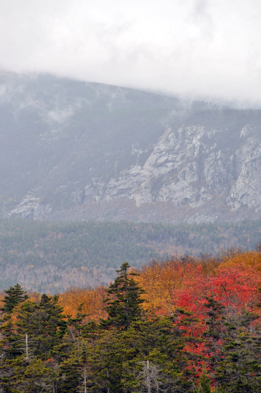
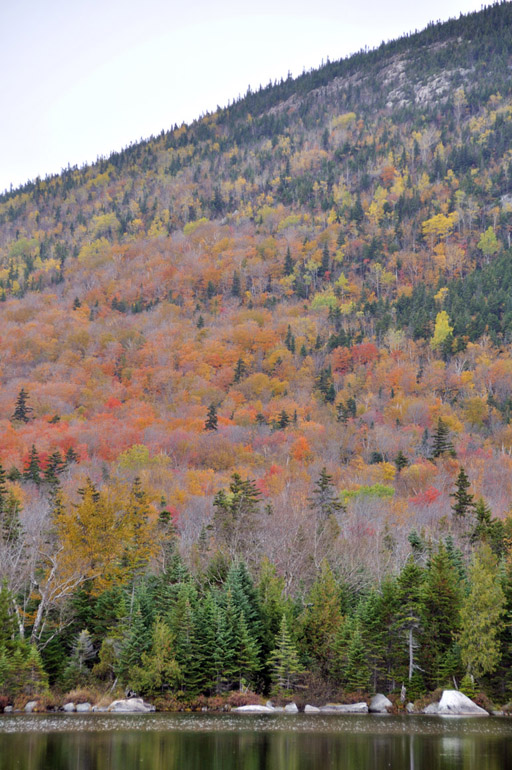
The foliage was considered to be at its peak level on the hills and mountains of north-central Maine. But because of rain and wind storms, much of the leaves had fallen from the trees. The weather just wasn't cooperating during this vacation.

low_clouds_0102
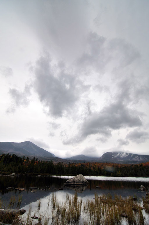
Clouds hang low over a still Sandy Stream Pond.

grass_reflection_0109
Another shot of the pond.

photographer_0129
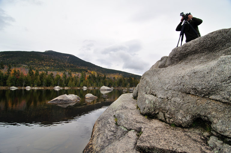
An amateur photographer from New York City takes exposures of the low-level cloud cover over Mount Katahdin. He was using a tool I do not have - a neutral-density filter, or grad filter - to capture details of both the bright clouds and the much darker cliff face of Mount Katahdin.

side_pond_0134
The peak featured here is not Mount Katahdin, just a smaller mountain near the end of the Appalachian chain.

clouds_reflection_0137
The moose that the photographers were waiting for never moseyed out of the woods during my short stay at Sandy Stream Pond. It was late morning when I left, but moose usually come out to feed earlier and later in the day.

PeakHDRUse
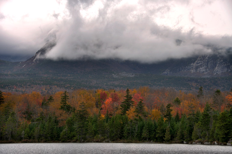
An HDR image, a composite of three separate photos, shows some detail in the clouds shrouding the mountain and the fall foliage below. I created this in Photoshop, though, which isn't the best editing program for creating HDR pieces.

SandyStreamPanoTease
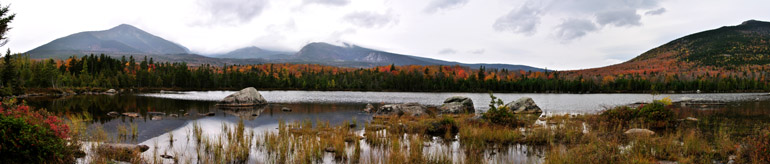
Click on the above image for a full-size panorama. The is a panoramic stitch of nine separate images taken at Sandy Stream Pond. Mount Katahdin is not visible because of clouds, but this at least shows some of the smaller summits in the area.

contrasts_0139
At this point, the photos at the pond started to get repetitive, and I moved on, just as it started to rain again. I hiked the mile back to the campsite, with my 50 pounds of equipment in tow.

yellow_0164
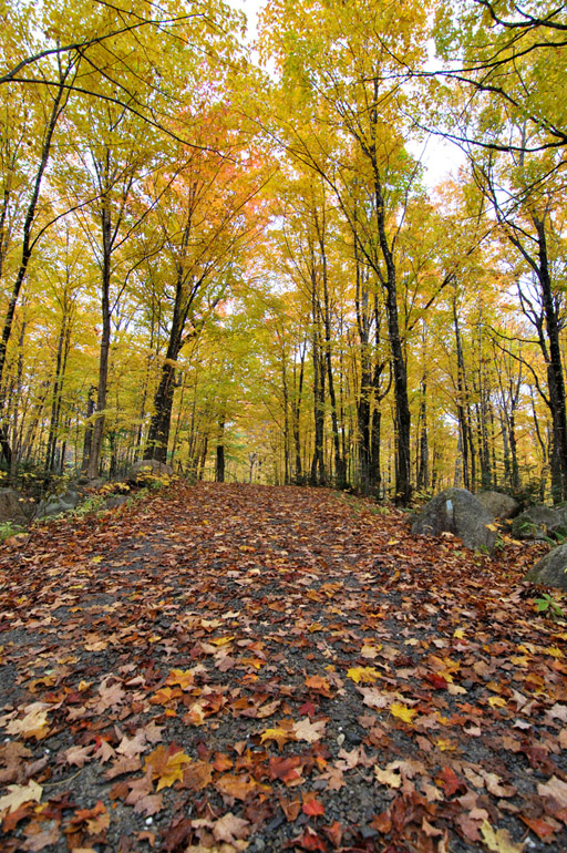
A scene somewhere along one of the narrow, winding park roads.

water_time_lapse_0180
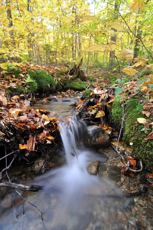
The yellow leaves along the road caught my eye, then this stream added to the beauty of the scene. This is a three-second exposure, which achieves that smooth, blurry effect in the falling water.

leen-to_0218
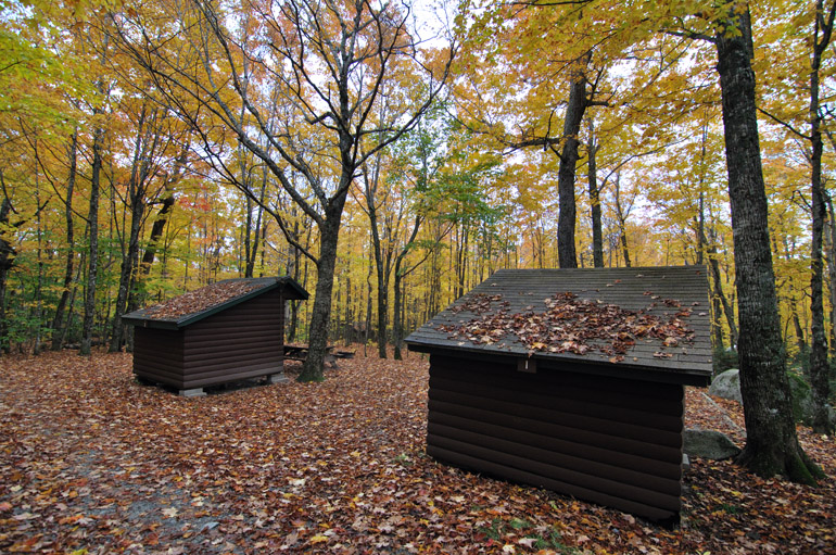
On the road in the western portion of the park, these wooden lean-tos occupy space at the Abol campground site. Abol is one of the most popular trails to the top of Mount Katahdin, which marks the end of the Appalachian Trail.

fallen_leaves_0221
The rain came fast and hard at this point, so I quickly took a shot and left, with intentions to begin the journey back to my parents' house in Princeton.

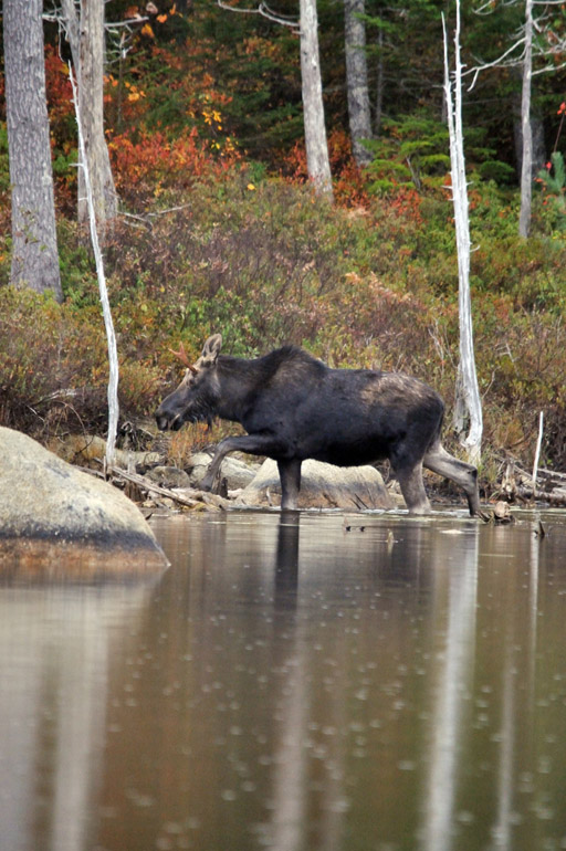
moose_first_0279
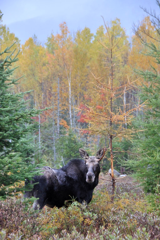
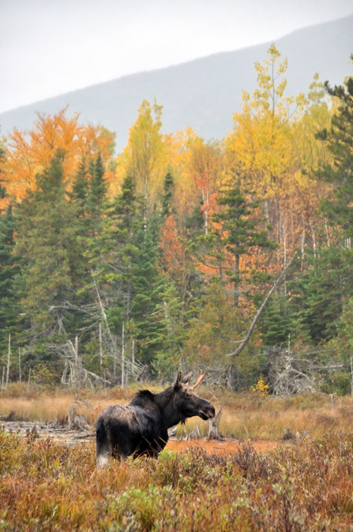
On the way out of the park, I noticed some people stopping in their cars and pointing across Stump Pond, a small body of water speckled with the trunks of dead trees. By chance, I saw that a former Bangor Daily News co-worker was one of those gawkers. She told me about the bull moose that came out out to feed. Despite the rain, I pulled out my camera and my 500mm zoom lens.

moose_vertical_0034
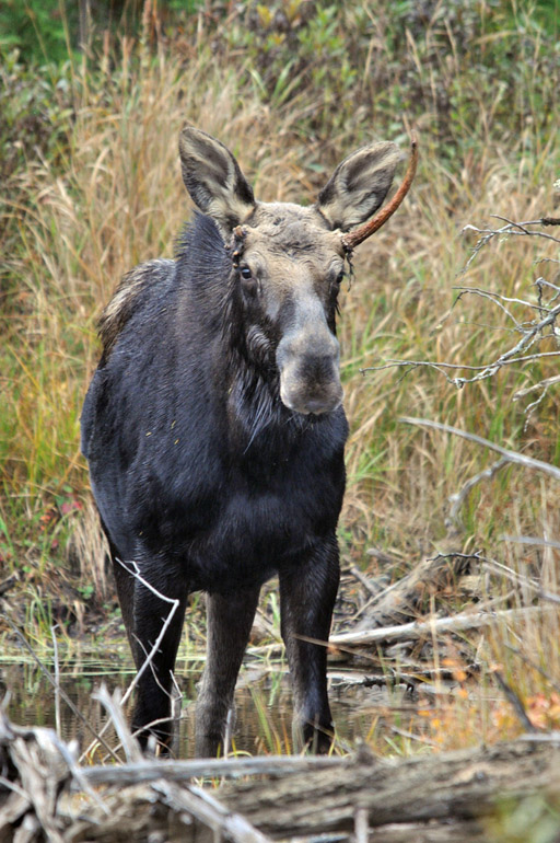
The moose roamed through the woods and came out in an area that was easily accessible by foot. So I got closer and noticed that the animal had gotten into some sort of tangle, likely with another bull over some fat cow. It was missing one antler and appeared to have an eye issue.
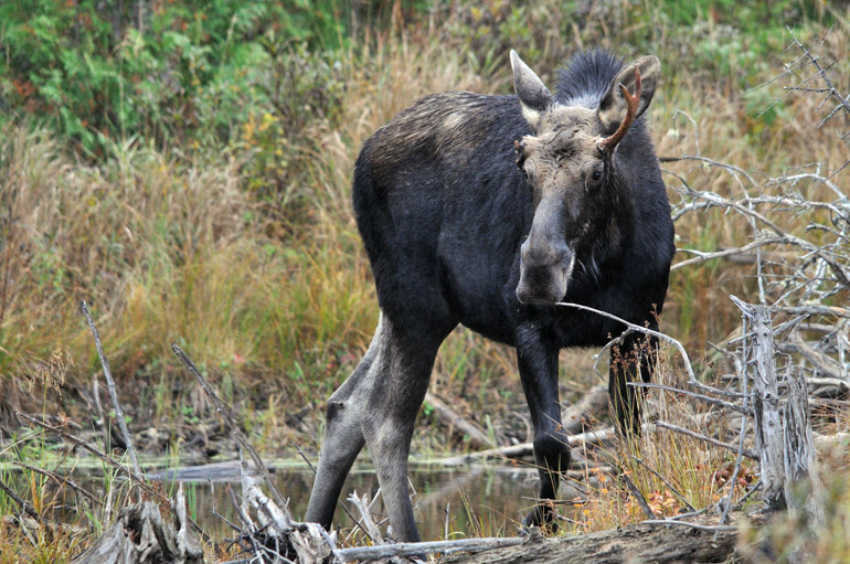
moose_horizontal_0089
This guy was fairly young, but because of their general size, any bull moose would feed a hungry Maine family for a year. Unfortunately, hunting isn't allowed in Baxter State Park.

moose_crowd_0103
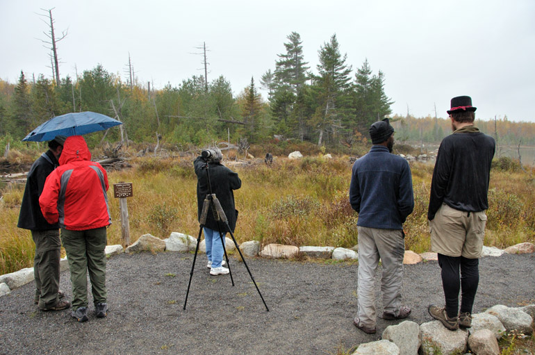
These are some members of the crowd that gathered to watch the moose chew on the grass growing in the pond.
moose_tourists_0207
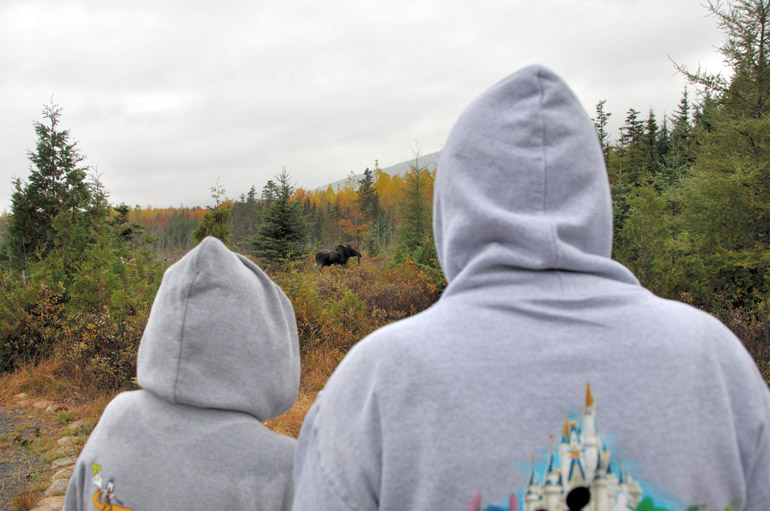
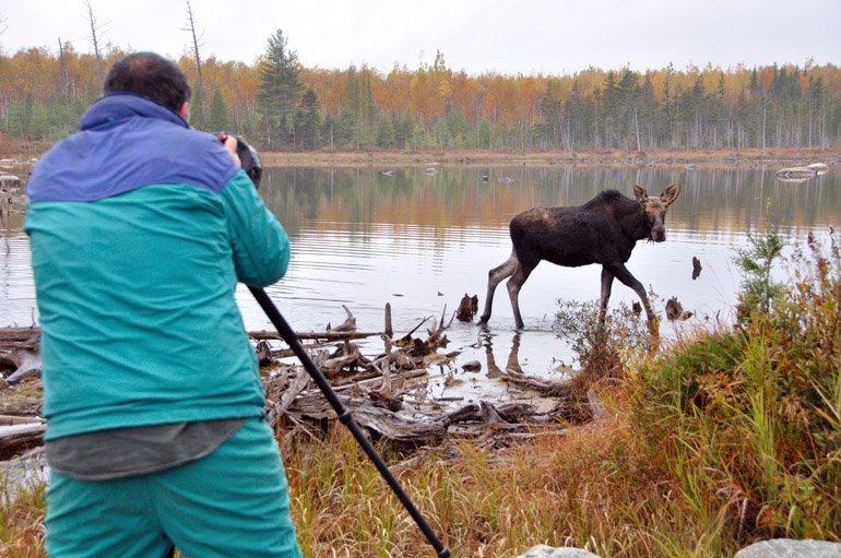
Some tourists who appeared to have last visited Walt Disney World in Lake Buena Vista, Fla., got in on the action.
moose_foliage_0196
The moose came ashore and marked its territory on a dying evergreen.

moose_mountain_0001
The slope of the north side of the mountain is visible in the background of this photo, the last of the day, as my camera was quite soaked.