
 |
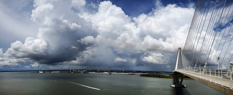
| Panoramic image during my run over the Ravenel Bridge on July 12. |
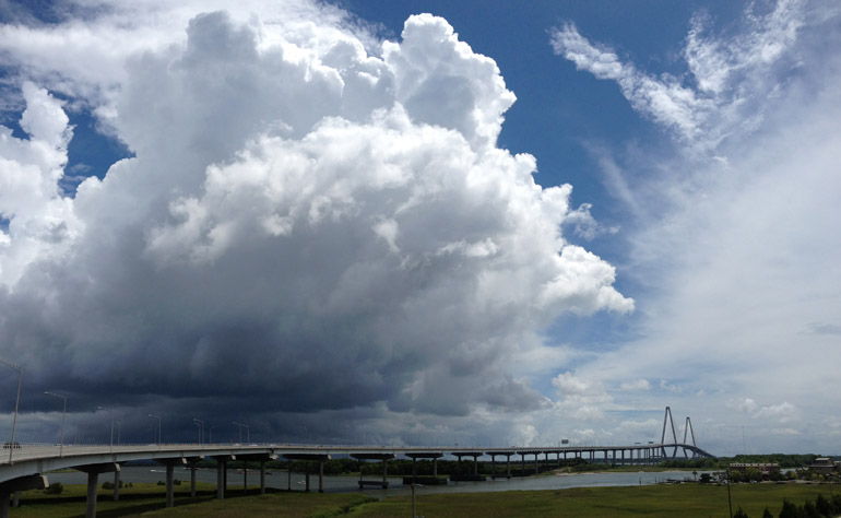 |
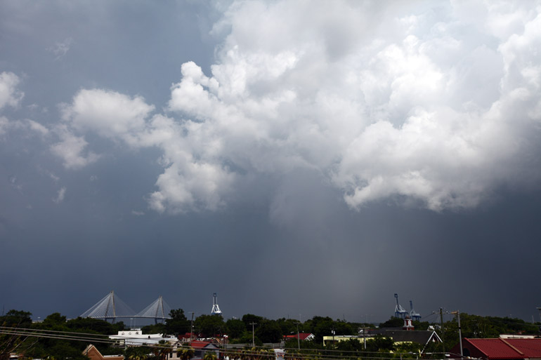
| A storm in the other direction during my July 12 run. |
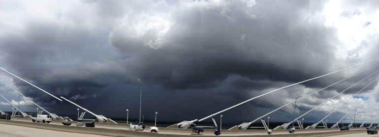 |
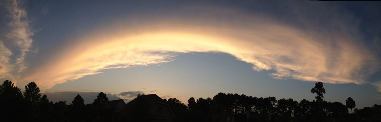
| A panoramic image of the July 12 storm passing the Ravenel Bridge. |
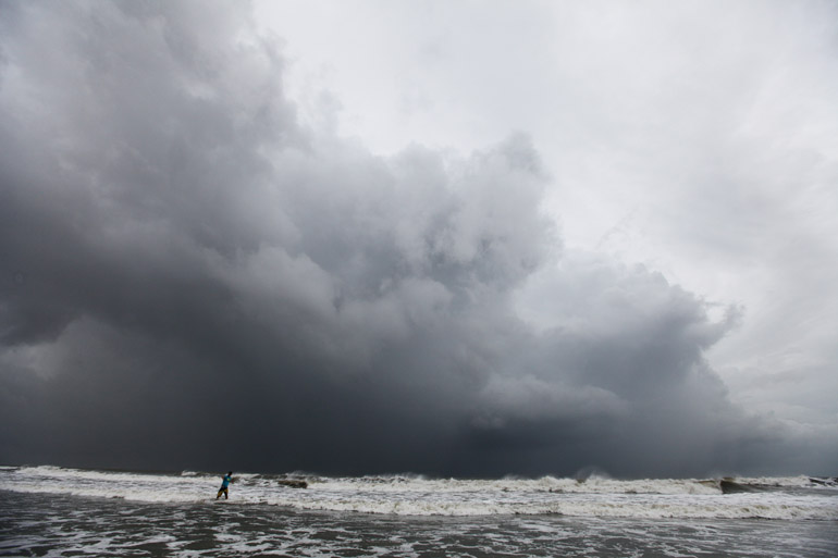 |
| Clouds associated with the outer bands of Hurricane Arthur, as see from Isle of Palms on July 3. |
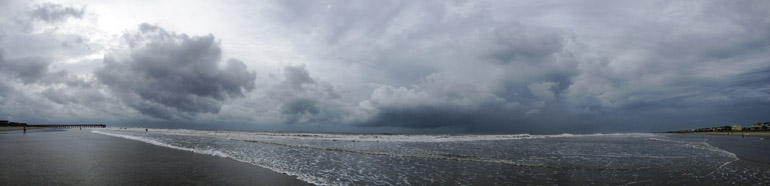 |
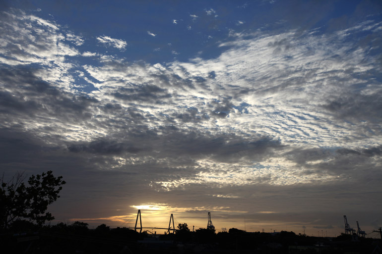
| A panorama of the Arthur cloud cover off Isle of Palms. |
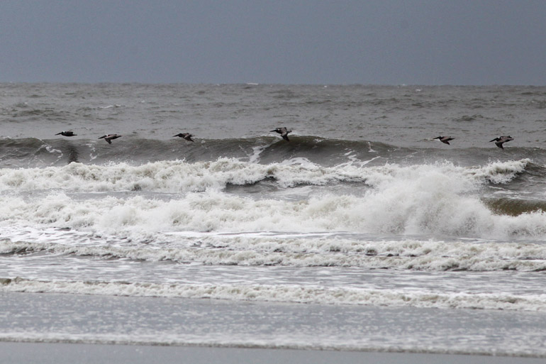 |
| Pelicans skimming the waves, which hit 6 to 8 feet in height off Isle of Palms during Arthur. |
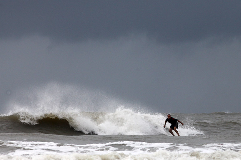 |
| Surfer enjoying Arthur waves. |
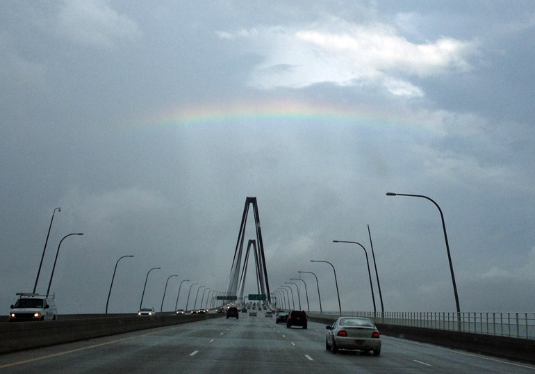 |
| Picture that my wife took of a partial rainbow above the Ravenel Bridge on June 28. |
 |
| Seen from Mount Pleasant, this storm over Summerville spawned a funnel cloud June 25. |
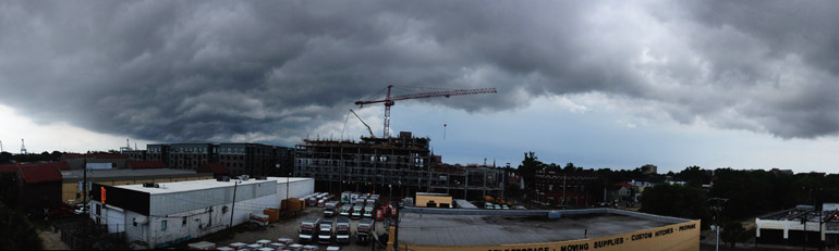 |
| A shower, a construction site and a U-Haul lot on June 23 from the top of The Post and Courier. |
 |
| Just a sun-lit rain shower June 22 from the top of The Post and Courier building. |
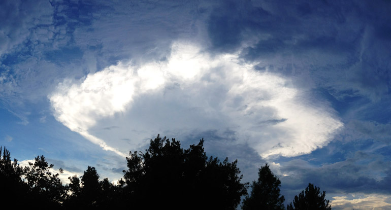 |
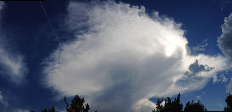
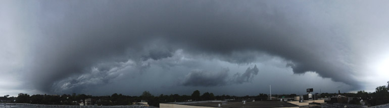
| Another panoramic image of an anvil cloud June 16. |
 |
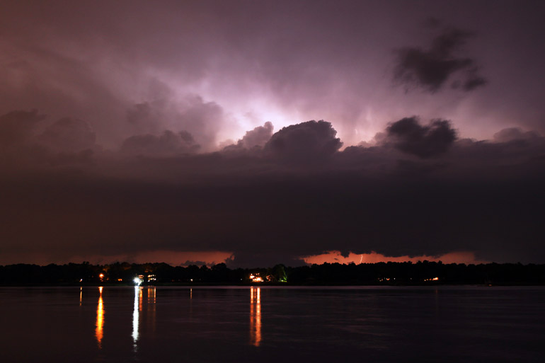
| In Mount Pleasant, sunset lighting up the edge of clouds associated with a distant storm June 14. |
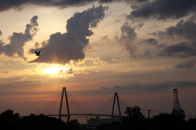 |
| Seen from the top of The Post and Courier in downtown Charleston, the sunrise over the Ravenel Bridge on June 9. |
 |
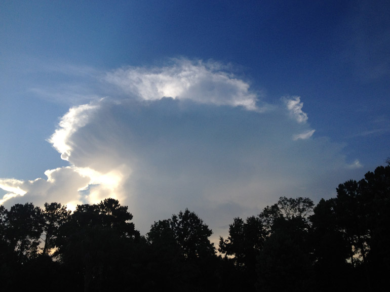
| Seen from Mount Pleasant, an anvil cloud associated with a several thunderstorm June 6. |
 |
| Another sunrise June 3. |
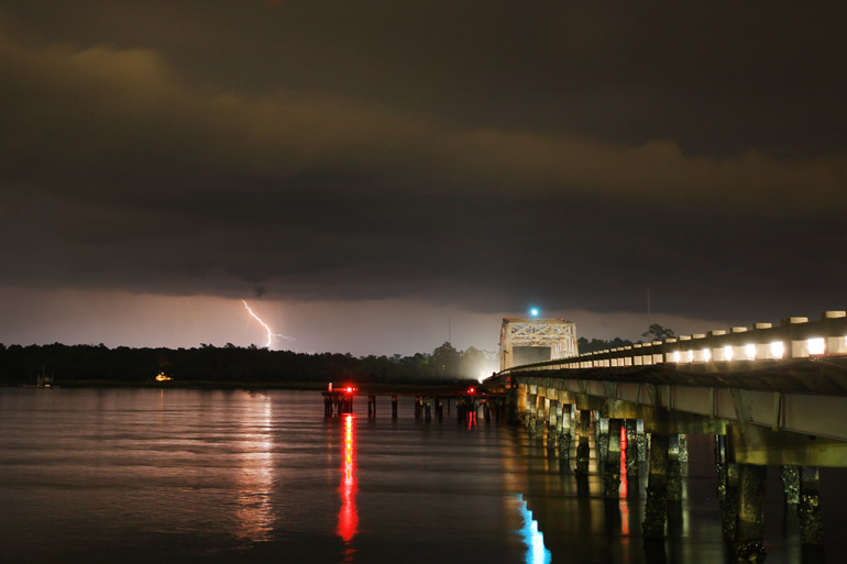 |
| Lightning from the bank of the Wando River at Highway 41 near Mount Pleasant on May 23. |
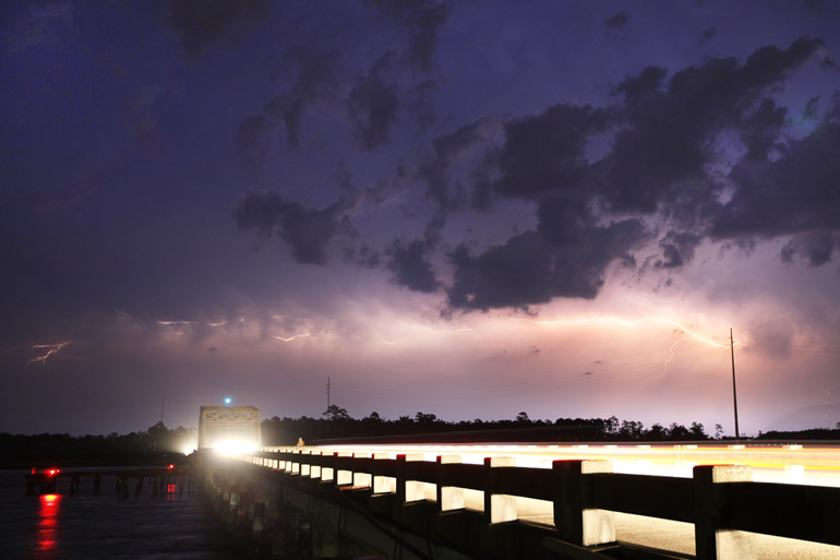 |
| More lightning from the May 23 storm that had a severe warning. |
 |
| This storm fizzled before it got to me, so I never captured any close-up bolts. |
 |
| A gust front ahead of a thunderstorm April 30, as seen from the rooftop at work. |
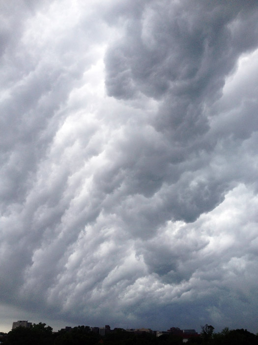 |
| The turbulent "whale's mouth" effect associated with many a thunderstorm in the South and with the one April 30. |


No comments:
Post a Comment