 |
| We start this post with a chase that began way behind schedule. I had just arrived home when I realized a storm had popped up and was moving into the area I had just been. I grabbed my stuff -- or so I thought -- and left. I saw a nice gust front move northeastward as I raced to get in front of it along Interstate 526, an intended beltway that partially encircles Charleston. I took this shot by sticking my camera out my window at 70 mph and snapping away. Just happened to catch a bolt. |
 |
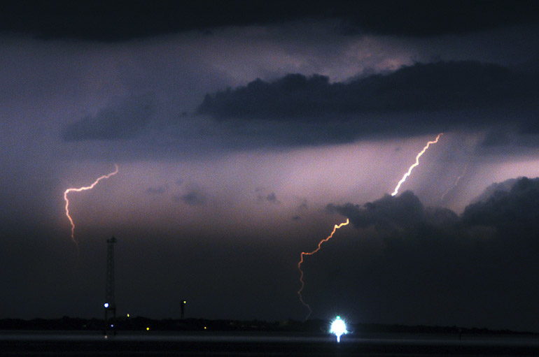
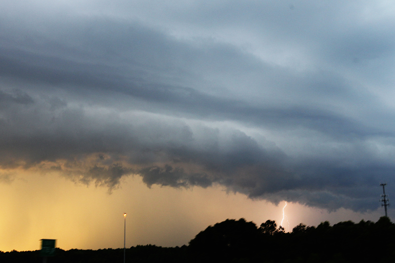
| I continued to play catchup and took this shot while I was at a stoplight. Some spectacular lightning was coming from these clouds, backdropped by a golden sunset. |
 |
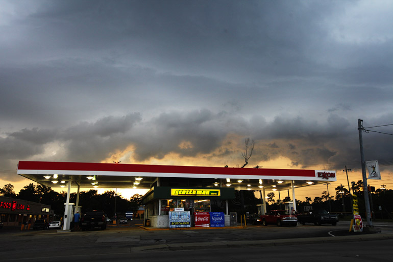
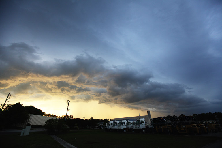
| Another shot of the severe thunderstorm as I drove along North Rhett Avenue in North Charleston. |
 |
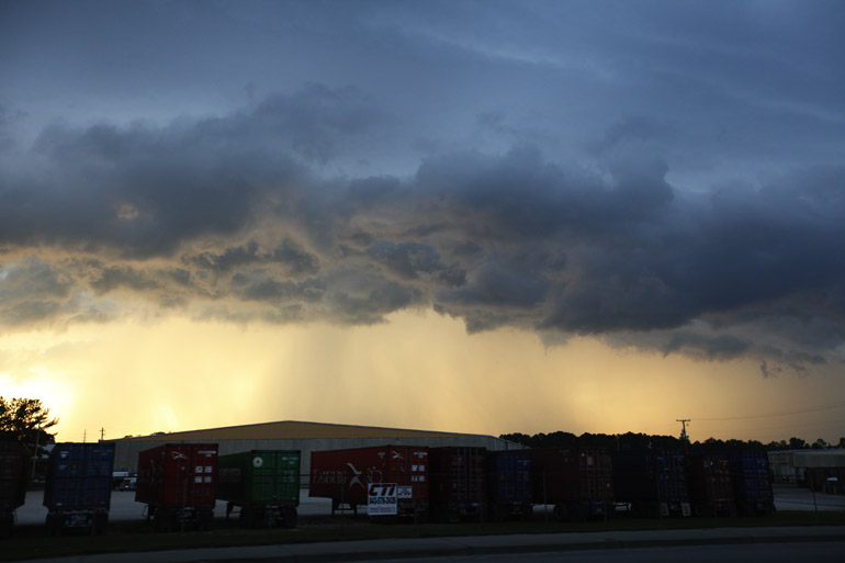
| I decided that a shipping facility with heavy equipment was the best place to pull over and take some shots of the storm before it blew over me. |
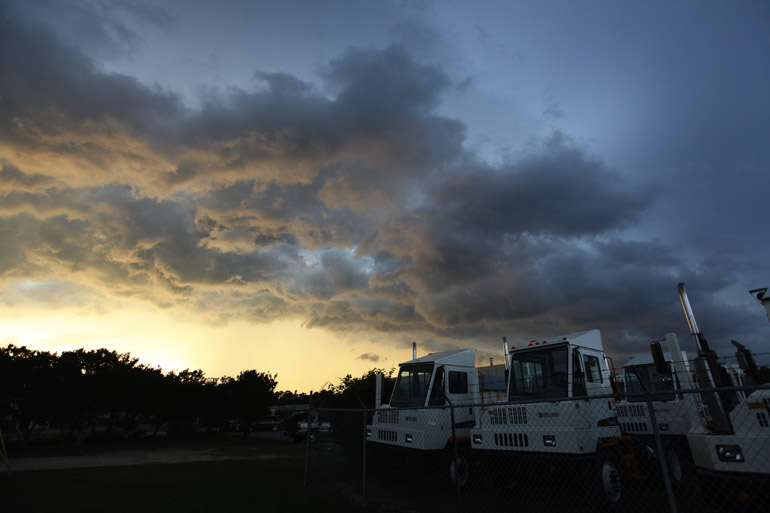 |
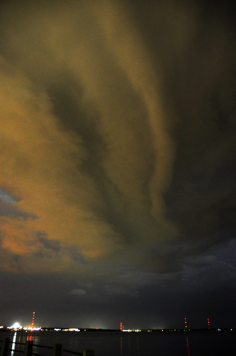
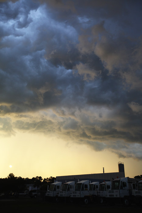
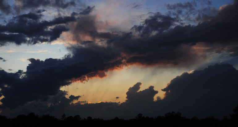
| The clouds were ragged and interesting when lit by the setting sun, but lightning wasn't frequent at this point, unfortunately. |
 |
| The sun began to shine through the light rainfall on the south side of the thunderstorm. |
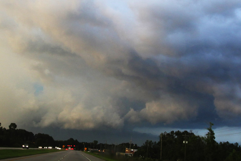 |
| I passed Hanahan, where I tried to snap a few pics of lightning striking an airplane, then drove here, to Goose Creek. These low clouds seem consistent with a wall cloud, which is often a precursor to a tornado. Indeed, about 10 minutes later, a tornado warning was issued on this portion of the thunderstorm. A funnel cloud was spotted and filmed in the Francis Marion National Forest, well to the northeast of this location. Unfortunately, I had to snap this with a wide-angle lens because I had forgotten a memory card for my Nikon, to which my telephoto was affixed. |
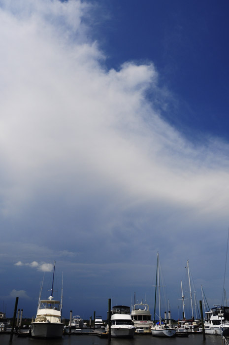 |
| On an earlier day, I was in a community on Johns Island, reporting about a homicide that disrupted sleeping neighbors. En route back to the office, I saw sheriff's vehicles speeding to an unknown location. I followed them to this marina, where a man had been reported missing and was thought to have drowned. He lived on a boat here. I was distracted by far-off clouds that were part of a severe thunderstorm well to the north of the St. Johns Yacht Club. |
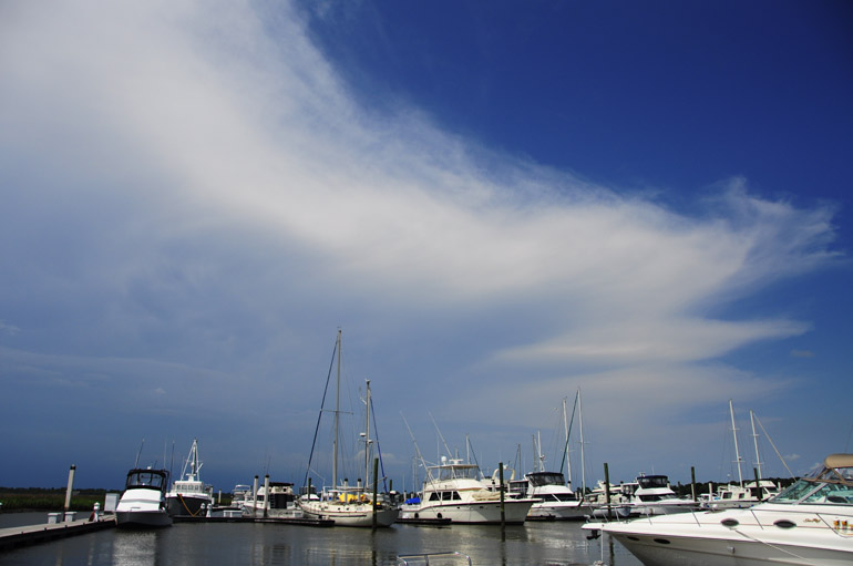 |
| This was a rather large anvil cloud, and I could hear thunder in the distance. No lightning was apparent. |
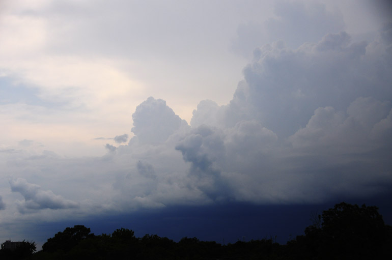 |
| This was the faraway storm, which was pretty much stationary over Summerville, which is about 30 minutes north of Charleston. I took this shot from the roof of The Post and Courier building just before the storm fizzled out. |
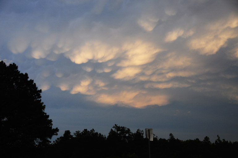 |
| On yet another day, I was driving home form West Virginia, where I visited my beautiful girlfriend, when I encountered some thunderstorms. Above is a shot of a few mammatus clouds that I snapped after briefly exiting Interstate 26 just south of Columbia, S.C. |
 |
| I sort of liked this thin cloud on the opposite side of the sky from the thunderstorm. It was nearly sunset. |
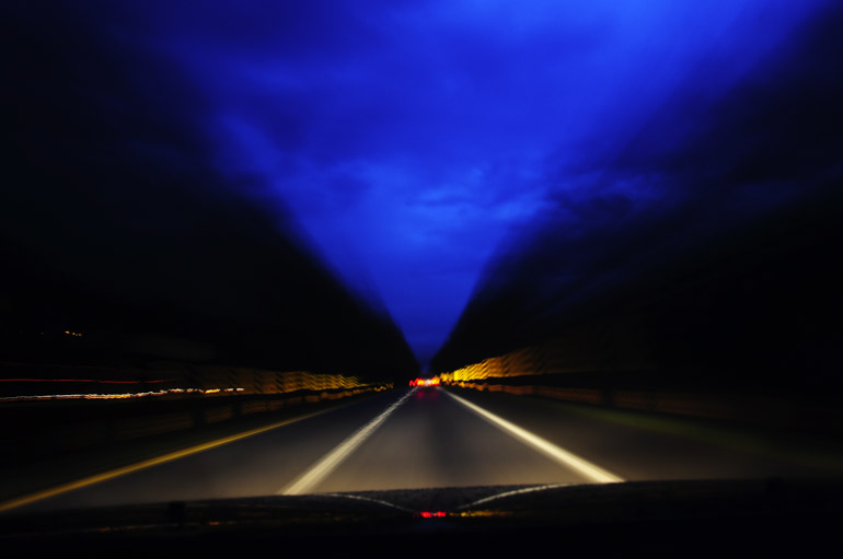 |
| I tried taking photos of some spectacular lightning that I witnessed as I drove over the interstate. But all I got was some purple sky. |
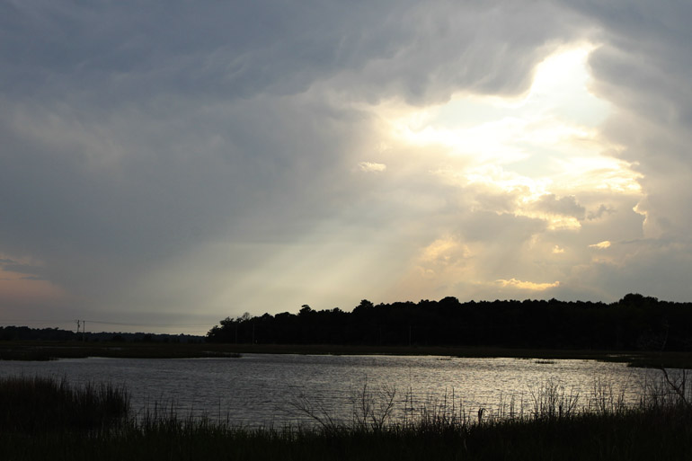 | ||
On another day near Ravenel, a small community west of Charleston, I tried photographing some interesting cloud cover associated with a storm that was, again, well off to the north. I was expecting the storm to move into the area, but it died instead. This is a shot of a "Jacob's ladder" as sunshine pierced the blanket of clouds.
|