
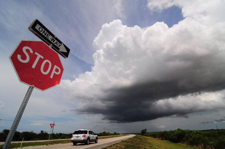
I got ahead of the storms Sunday but wasn't necessarily watching the best systems of the day, like I did Saturday. I traveled a short distance to U.S. 192, an east-west corridor from Melbourne to Kissimmee. Early in the afternoon just west of Melbourne, I watched these cumulonimbus clouds build in a matter of minutes. It created a thunderstorm that moved southeastward toward Palm Bay.
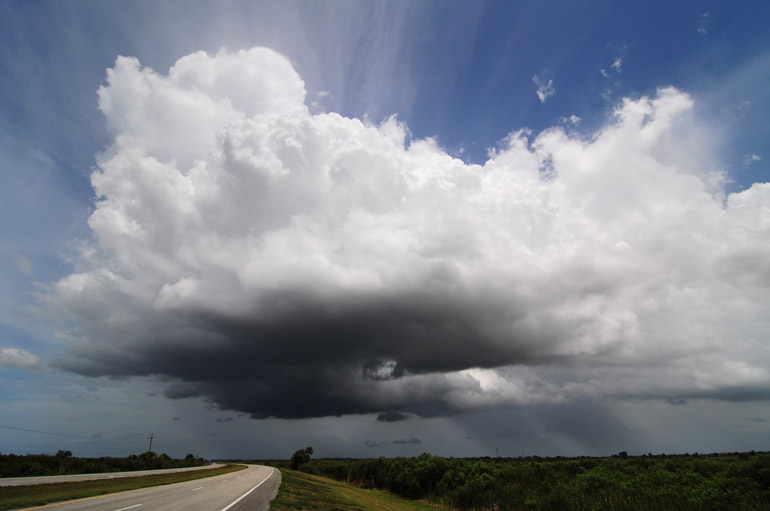
An hour earlier, there were just plain old clouds here. This is an overall shot of the isolated storm, showing some rain falling toward the coast.
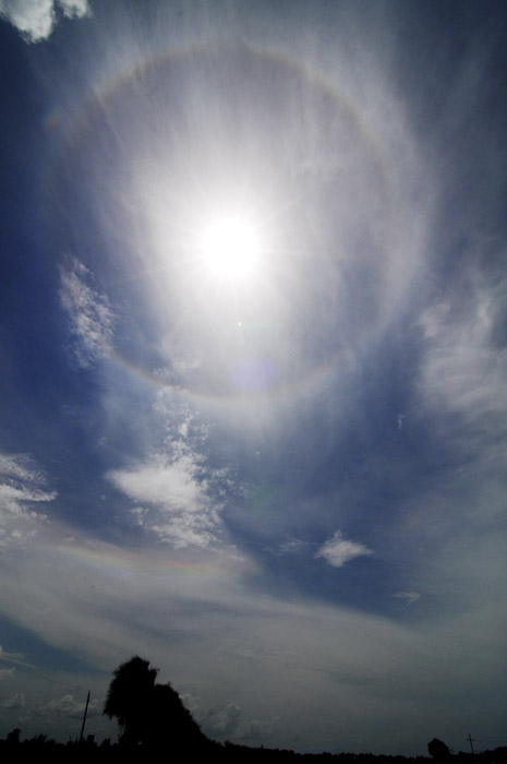
Storm formation was hindered most of the day by cirrostratus clouds, which prevented extensive heating and thus severe thunderstorms. They did, however, cause this halo around the sun.
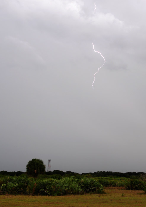
This storm started gaining some structure. There was some lightning, and that's what I was trying to capture in this shot, taken near a hotel at Interstate 95 and U.S. 192.
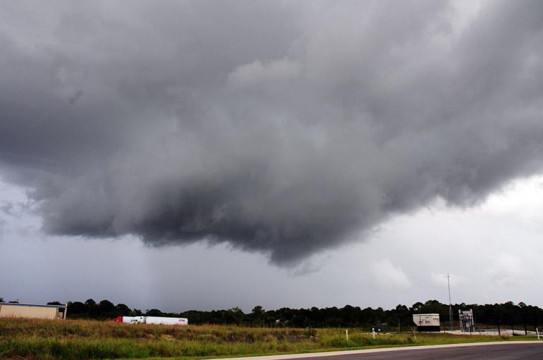
Later in the day, a storm formed way down south near Vero Beach. It produced rotation and a tornado warning there. Then, it split into two separate storms. One remained fairly strong and traveled northward toward U.S. 192. I waited for it there, trying to catch some lightning as it approached. During the daytime, such a task is difficult when you're not equipped with a lightning-initiated shutter trigger. I basically have to watch for a bolt, then hold down the button in an attempt to capture a portion of the bolt. I only caught a small bit in this shot.
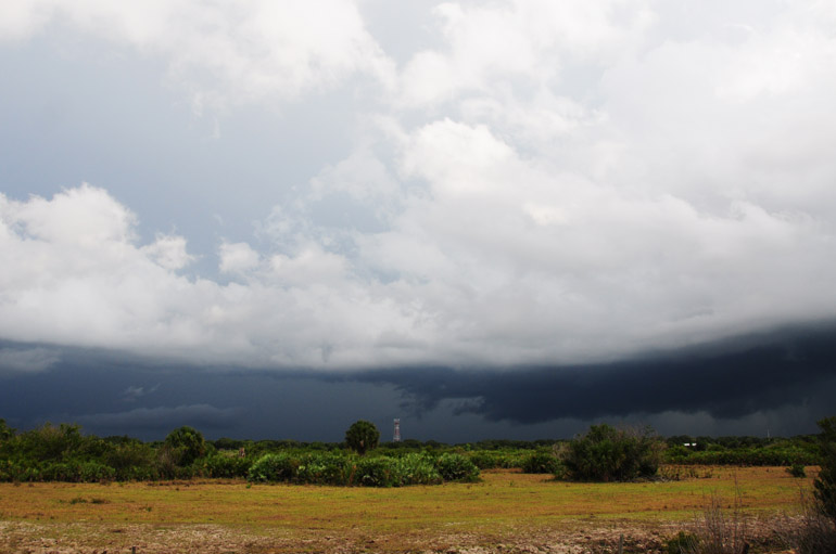
The gust front neared U.S. 192, but it started to fall apart. Just before the storm reached the roadway, it lost all energy and lightning. Only light rain fell. That was somewhat disappointing.
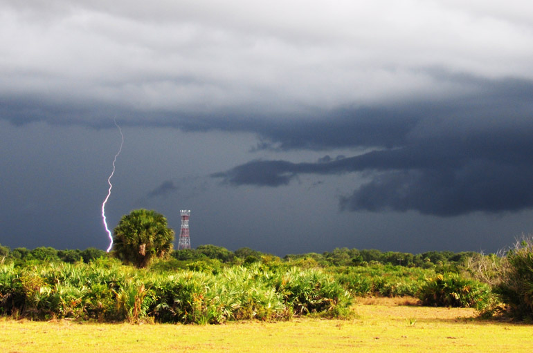
The only decent lightning shot of the day. I was hoping the tower would get struck, but I wasn't quite that lucky.

No comments:
Post a Comment