Monday, February 1, 2010

Snow search in Appalachia | Quick stops while hightailing it to the Virginias

web_freshsnow_gatlinburg_0011_2479
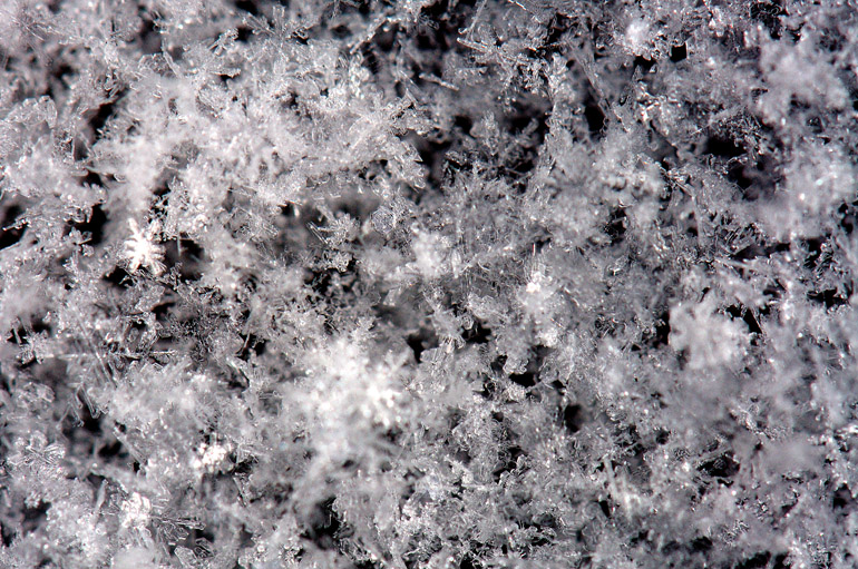
Fresh snowflakes come to rest on pavement in Gatlinburg, Tenn. The motel clerk said it hadn't snowed in two years in the town at the cusp of the Smokies. Granted, there wasn't much on the ground, but it was more than these Tennesseans are accustomed to.
web_theater_pigeonforge_0028_2481
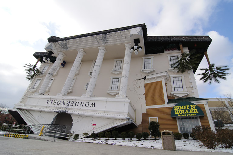
This building caught my eye while I was driving along U.S. 441 in Pigeon Forge. Not sure why.


The continental breakfast is my favorite part of staying in cheap motels. No matter how sleazy they may be, such establishments often still offer cheesy danishes, sugary cereals and buttery toast in the morning.

But when I woke up after a restless night at the Super 8 in Gatlinburg, Tenn., there was only one thing I wanted for breakfast: coffee. I had been awake for more than 36 hours - time mostly spent in a driver's seat - before finally falling asleep the night before. The hangover from driving all day hit with full force.

A light snow fell as I walked, arms hugging myself for warmth, to the motel office. But there was no coffee. Not even a danish. I was the only guest overnight, and the staff - a lone person - didn't bother to make a pot just for me. She offered to start one, but I wanted to hit the road. After consuming Froot Loops from a Styrofoam bowl, I brushed the snow off my car with a golf towel - my clubs are stored permanently in my trunk - and headed north.

U.S. 441, the route that made for hairy moments over the Great Smoky Mountains at sunset Saturday, was closed Sunday morning because of impassable conditions. That foiled my plan to head back into the mountains to take photos of fresh snow sparkling in sunlight.

But 441 away from mountains provided smooth sailing through more touristy portions of east Tennessee. From Gatlinburg, the next town over is Pigeon Forge, which bills itself as a "family vacation hub" and is the home of Dollywood, a park whose theme is, of course, Ms. Parton herself. Just as Gatlinburg showed shades of a hillbilly Orlando with its kitsch, Pigeon Forge emitted a rather South Florida vibe, with the 441 corridor lined by strip mall-style retail stores - but with a distinct mountain-bumpkin flair. There seemed to be an inordinate number of places pushing leather boots or hats, and I saw a few more Confederate flags than American ones. Some of it was a bit too "wild west," though, something that's not quite as indigenous to the region.

These are merely passing impressions that I'm picking from my brain as I type. None of the touristy stuff moved me to stop for an extended time. Only once did I pull over to take a photo of an upside-down building in Pigeon Forge, just because most upside-down buildings I've seen have been on television and came about from some sort of flood or mudslide or circular wind.

I was shooting for Interstate 81, which would put me on the fast track to Virginia and West Virginia, where there'd surely be more snow. Ignoring a flashing state DOT sign that said "Your GPS is lying" and suggesting I take an alternate route, I, nevertheless, found the northbound interstate. I drove past low mountains covered in more boring bare trees. I drove past hilly pastures and silos. Most scenes were nondescript and forgettable. The only excitement was when the Toyota Tundra in front of me blew a tire, spewing shards of black - and for some reason, green - rubber into my windshield.

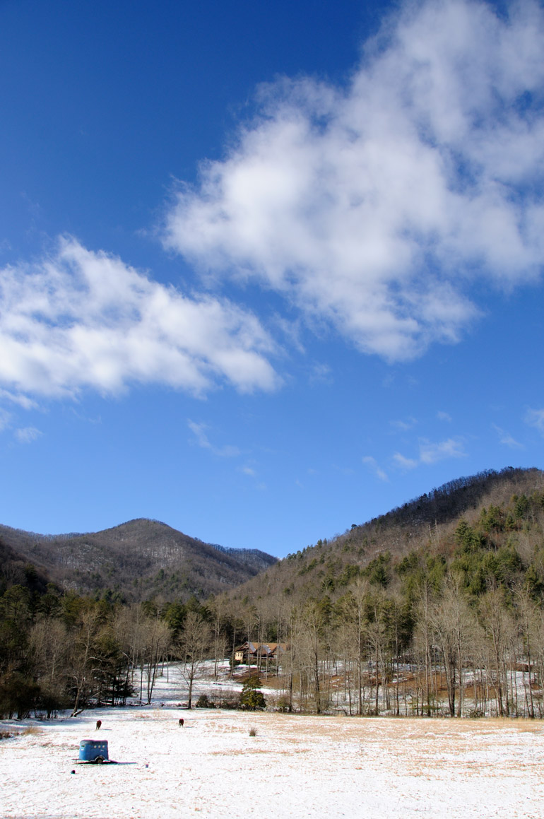
At one point, I left the highway to drive on some farm roads and to see what I could see. The views were the same as they had been for much of the trip: not spectacular. The town was Glade Spring, Va., just north of where Tennessee, North Carolina and Virginia all meet. The terrain consisted of rolling hills, on which cattle roamed in search of tufts of grass sticking through a thin layer of snow. I toured the area while the Patriots' first and last playoff game sounded on AM radio. Each time I accelerated, though, the engine noise was picked up by the radio receiver and amplified by the speakers, hindering my listening. I tried to limit the number of times I hit the gas pedal, but that made for slow going. But the way New England was playing eventually moved me to switch off the game for good. Back to the highway.
web_tree_gladespringva_0034_2482
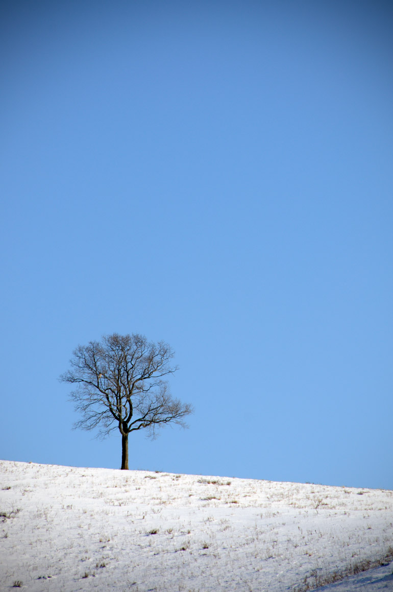
When I took a photo of a hill in a pasture in Glade Spring, Va., I didn't notice the hawk sitting in the lone tree.

web_barn_gladespringva_0039_2483
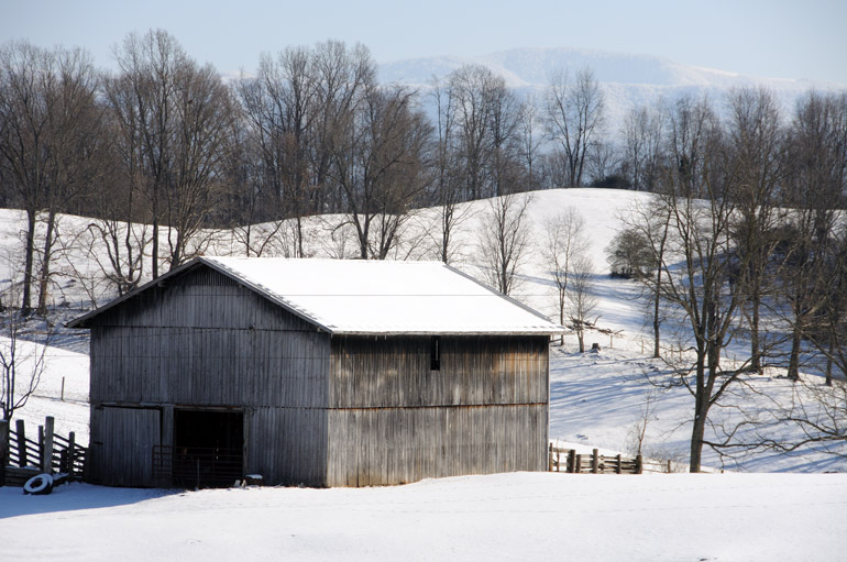
I traveled down a dead-end farm road paralleling the interstate and saw this barn, with the Blue Ridge Mountains in the background.

web_tracks_gladespringva_0044_2484
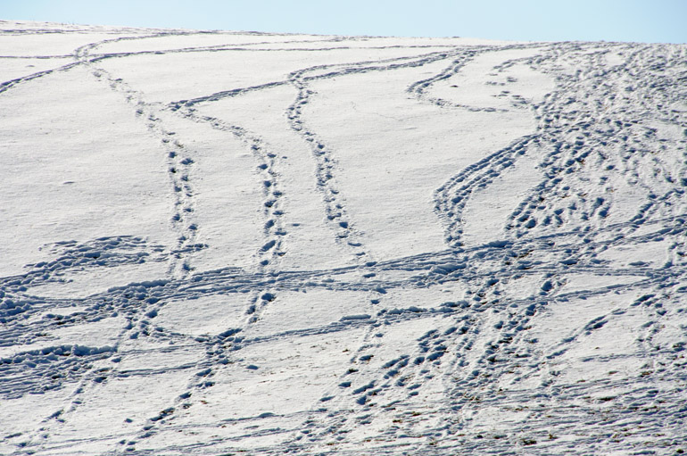
Cattle tracks cover a hillside in Glade Spring.


Interstate 77 winds and undulates through the Jefferson National Forest in the Blue Ridge Mountains of eastern Virginia. At parts, the highway didn't bother to undulate and simply went straight through the mountains. When I exited the north end of the East River Mountain Tunnel, I entered West Virginia, the only state wholly consumed by Appalachia, according to the Census Bureau. The uneventful day was coming to a close, so I stopped and looked for one more place that might be photogenic.

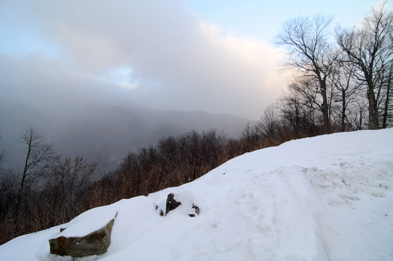
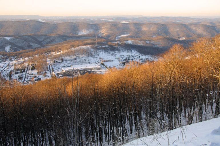
My hometown is Princeton, Maine, so I was obligated to stop in West Virginia's Princeton just north of the Virginia border. There, at a tourist information station, a brochure said the newly reconstructed East River Mountain Overlook was a good place to view Bluefield, W.V., the state's most elevated city at 2,655 feet. The overlook, 3,500 feet above sea level, featured some dilapidated buildings that needed tearing down. Snow drifts blanketed the actual viewing platform. With no other tourists, it was desolate. And I imagined that the scene below would have been pretty if the trees were covered in leaves or snow.

The chilly air, combined with a stiff wind, must have made it feel like 0 degrees in Bluefield. After just two days in that climate, my skin had become a dermatological desert. Constantly exposing my hands to the air while shooting photos turned them to leather. I badly wanted off that mountain, so I skidded down the slushy road and found another cheap hotel 90 miles away in Lewisburg, to which I traveled under the veil of night. When I pushed that card key into the door and opened it, I found that the heat was not turned on. Just my luck.

web_overlook_bluefield_0075_2486
From 3,500 feet on East River Mountain, late-day sunshine brushes the tops of bare trees in Bluefield, W.V., near the border with Bluefield, Va.
web_snowyside_bluefield_0079_2487
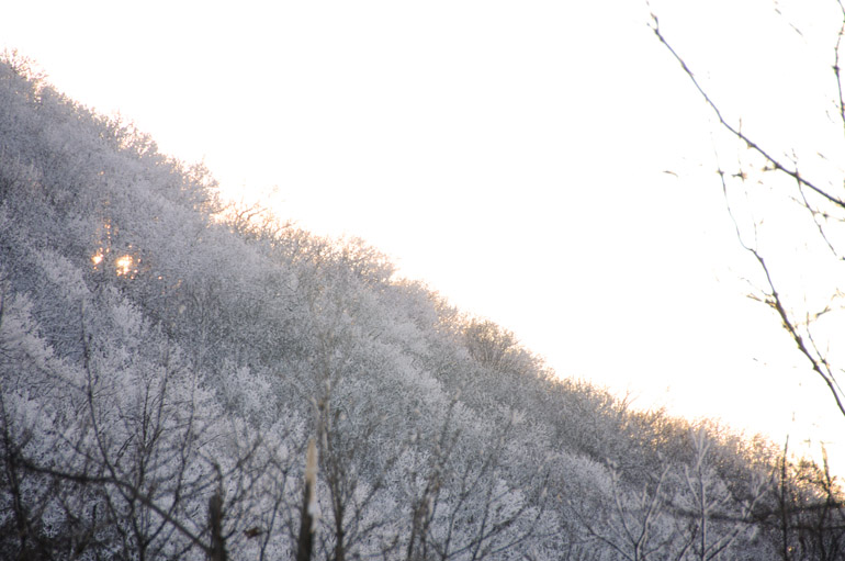
The sun sets behind East River Mountain. The treetops on most of the mountains throughout the areas of Appalachia that I visited were covered in snow. The lower regions, such as Bluefield at more than 2,600 feet, though high, had only a few inches of powdery white stuff on the ground.
web_mountainsky_bluefield_0088_2488
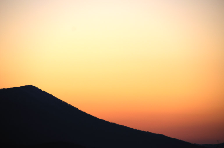
The sky glows behind a West Virginia mountain just after sunset on the Sunday of my extended weekend.

Saturday, January 30, 2010

Year's biggest moon and the passing clouds

web_bigmoon_timed_0022_2492
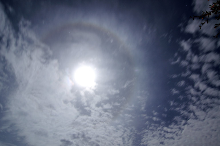
Purchase a print | Friday night's full moon appeared to be the biggest and brightest of any in 2010. Earth's natural satellite was at its perigee, or closest approach to Earth. After getting home from work, I photographed the moon when it was high in the night sky. The shutter for the above shot was open for 2 minutes and 36 seconds, so the clouds appear streaky underneath a halo-encircled moon.

web_bigmoon_mackerelwide_0016_2490
Purchase a print | These altocumulous clouds quickly approached from the west and built into a thick layer in the short time I was outside. This mackerel sky foreshadowed a cold front and stormy weather to come Saturday.

web_bigmoon_darkclouds_0028_2493
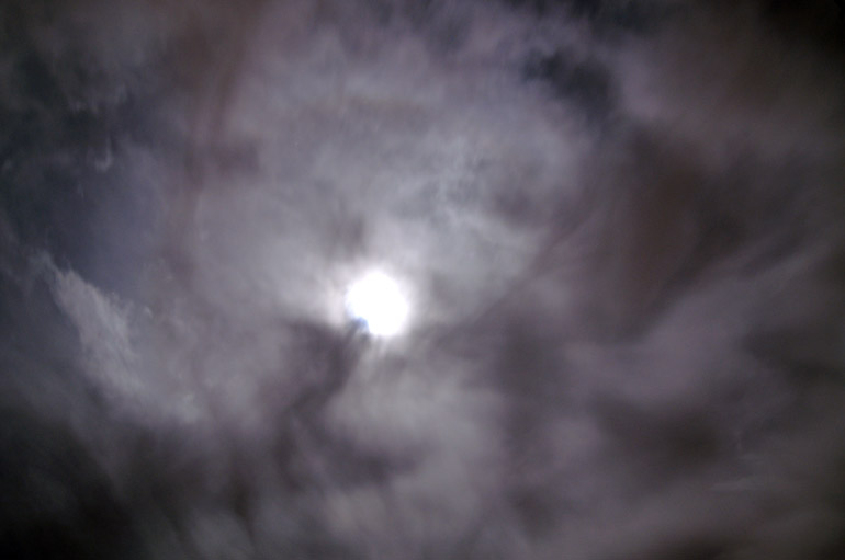
The clouds eventually became thick, dark and eerie, effectively hindering my view of the moon.

Friday, January 29, 2010

Snow search in Appalachia | Carolina's back roads and the treacherous Smokies

web_stateline_smoky_0325_2474
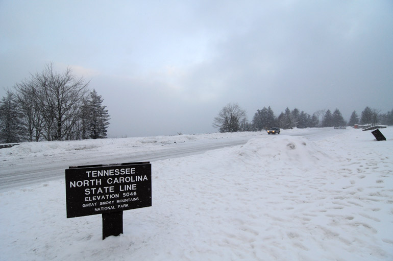
The high point of U.S. 441 over Newfound Gap, in the heart of the Great Smoky Mountains National Park, features the border between North Carolina and Tennessee. I never thought that I'd set foot in Tennessee for the first time while it was snowing.


In addition to spontaneous, my long-weekend trip north was foolhardy. There's an advantage to having no plans, no schedule to be at a certain place - a certain hotel in a certain town - at a certain time. I could be deliberate, stop when I felt hungry and take photos if something caught my eye.

But having no certain route to follow through Appalachia, where often-dangerous back roads abound, could be considered rash, too. My tack was to avoid using a map and instead rely on my GPS in hopping from small town to small town. When I got to the first town, I'd set a course for the next. My town hopping, I planned, would take me through scenic country and over the Great Smoky Mountains in my first day of travel.

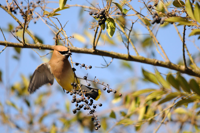
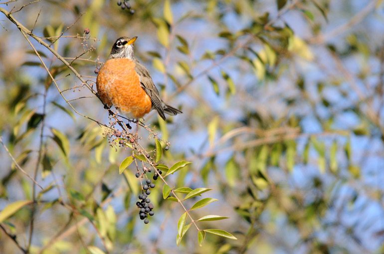
From Atlanta, I drove to East Ellijay, Ga., where I stopped at the sight of birds, of all things. I saw cedar waxwings and robins feeding on berries in otherwise bare trees. I hadn't seen those avian species since moving to Florida.


web_cedar_waxwing_0112_2460
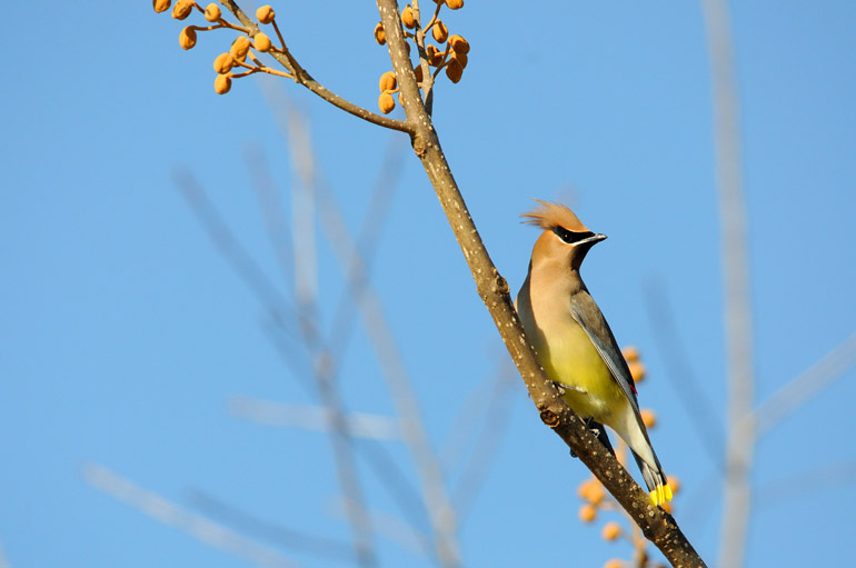
I hadn't encountered a cedar waxwing since leaving Maine, so it was pleasant to see their feathery mohawks in East Ellijay, Ga.

web_cedar_waxwing_fly_0182_2462
The cedar waxwings were not cooperative subjects. I couldn't tell if they were flying around so much to stay warm - likely angry that they had flown south only to be greeted with frigid air - or to gather more berries than their counterparts.

web_robin_0152_2461
Robins, this one with puffy plumage, are a sign of spring in New England. They are some of the first birds to arrive from the south when the weather warms in places like Maine.


When I arrived in the small town of Murphy, N.C., just north of the Georgia line, I had traveled nearly 700 miles since setting out from Melbourne early that Saturday morning. And it was there where I realized the flaw in my traveling strategy.

I had picked a random address in Murphy for my GPS to lead me to. I had planned to stop when I reached the town, then reset my GPS for the next city. Unfortunately, I didn't notice when I arrived. I followed a sign onto a road that I thought would lead me to Murphy. But actually, without knowing it, I had already traveled right through the heart of Murphy. (It was so small, I didn't even notice.) Instead of stopping, I continued to blindly follow my GPS.

I should have known there was trouble when I saw the route I was following was called Beaver Dam Road. That's not a name you'd see in downtown Manhattan, Miami or even downtown Murphy for that matter. It wound over low mountains, around cliff faces, next to rural farms with horses grazing in fields sprinkled with snow. The road surface was barely maintained. Salt had melted some of the snow that had fallen earlier, but what was left was a dirty slush. And none of the scenes were particularly photogenic. There wasn't enough snow to make the bare trees pretty. Once, I saw a beautiful hawk perched in an evergreen, backdropped by a distant farm in the valley below. But me exiting the car spooked the bird, and it flew off.

My patience was wearing thin. I wasn't lost, but I wasn't where I wanted to be.


web_horses_mountains_0220_2477
None of the scenes were particularly photogenic. There just wasn't enough snow.

web_beaver_cabin_0231_2463
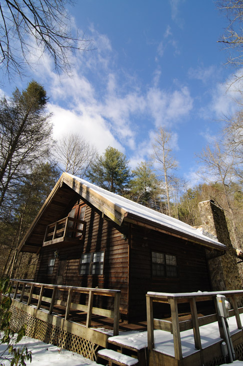
Many of the homes along Beaver Dam Road near Murphy, N.C., had been abandoned for the winter. If I got stranded, I figured I could break into one, start a fire and roast some of the Ritz crackers I had brought along for the ride.

web_car_house_0253_2465
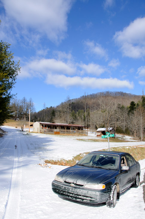
The only salt my car is accustomed to in Florida is in the air that pushes off the ocean. After this trip, a good wash would be in order.

web_onelane_road_0238_2476
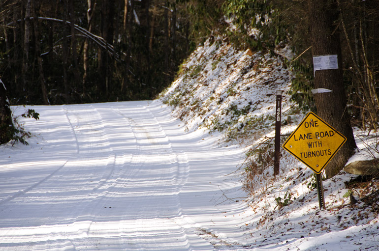
At this point on Beaver Dam Road, I stopped.


But I had gone far already, so I figured I'd push forward to see where the road led. At least traffic wasn't a problem. I met no one on Beaver Dam Road. In fact, most of the cabins had been abandoned for the winter. And of the homes that were occupied, none of their occupants were going far: I could tell the snow was alien to them. My drive took me through the part of Nantahala National Forest that most tourists never see.

After all that, though, my luck ran out. I came to a one-lane bridge, on the other side of which was a sign that said "end state maintenance." The road beyond it was dirt, unplowed and undoubtedly littered with downed limbs. I cursed my GPS and headed back to the town I never saw.

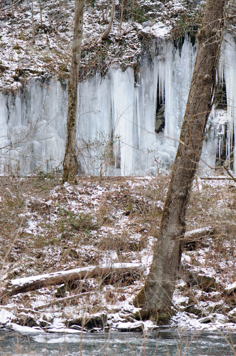
After realizing my error and correcting it, I set course for downtown Bryson City, N.C. - rather than some random address off in the boonies. That took me over the Great Smoky Mountains Expressway, which was much smoother and slightly less snowy than Beaver Dam Road. Occasional turnouts along the roadway allowed me to once park and trudge over an embankment to a small stream. Park rangers don't much care for tourists who go off the trail, so I remained discreet. The whole intent was to photograph ice formations on a mountainside. In order to get closer, though, I'd have to cross the stream by way of icy rocks. But that seemed beyond the scope of my daring, so I snapped one shot and fought the bushes on the way back to my car.

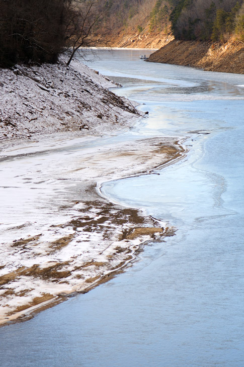
I stopped again when I crossed the Little Tennessee River. The surface was icy and turquoise. Under better lighting, it would have gleamed. But none of the photographic gods were with me on this trip. I trudged on.


web_ice_rocks_0260_2466
Water running off cliff faces through the Nantahala National Forest and the Great Smoky Mountains National Park froze into masses of ice. In some places, they reached down and kissed the pavement of the expressway.

web_blue_river_0269_2467
The lighting is downrange from my lens in this shot of the Little Tennessee River in North Carolina, less than ideal for a good photo.


At a general store, I bought a chocolate milk, which served as my lunch, or my dinner. I lost track. At that point, about 4 p.m., the exhaustion from traveling all day set in. I had consumed countless Red Bulls and a few cups of truck stop coffee. All that caffeine, I'm sure, worsened my condition in the long run.

The terrain started to get serious. The mountains were higher. The trees at their peaks were coated in snow, which glimmered in the sunshine. The roadway itself was in shadow.

When I entered Cherokee, N.C., I was so tired that there really was no sense in even possessing a brain because it was not functioning. Flurries started to fly, but I "made the decision" to traverse the alpine U.S. 441 connecting Cherokee to Gatlinburg, Tenn. I passed the entrance to the Blue Ridge Parkway, which was impassable, thanks to unseasonable weather. As my faithful car scaled the Smokies, the snow fell thicker. The sun peeked through occasionally as it set, allowing fleeting moments for photography.


web_smokysnow_sun_0311_2470
These clouds over the Smokies dropped a good deal of snow in a short time, but the sun often shined through.

web_snow_roadsign_0321_2478
You can tell from this photo that the road was quite snowy.

web_snow_smokytop_0322_2473
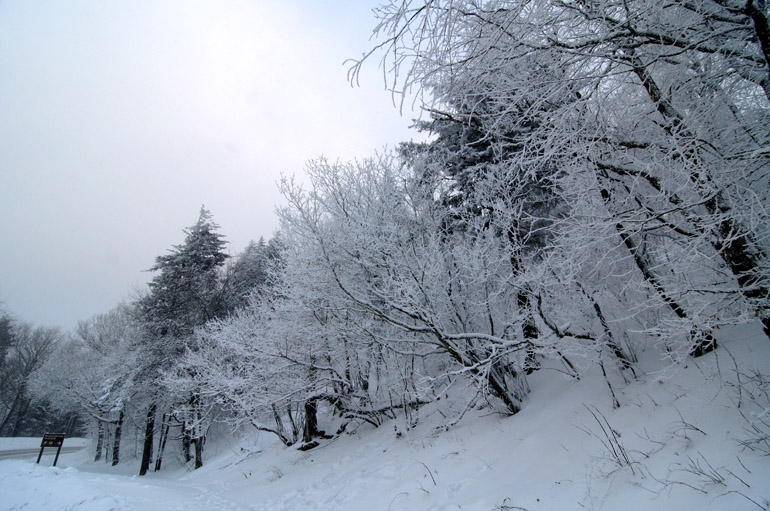
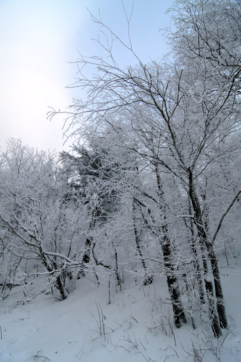
Though it doesn't seem the case in this photo, snow is falling during a squall. This was high in the Smokies, where there was a foot of snow already on the ground, with the trees covered from previous storms.


At the apex of 441 is the North Carolina-Tennessee border. When I reached it, at 5,046 feet, there was a sense of accomplishment, despite having not taken one photo all day that made me happy. I was touching a state, Tennessee, that I had never touched before. Just as I began to savor the moment and to think that this trip is all about the journey, not the destination, I was honked and yelled at by a plow-truck driver who told me to pick a state and get off the mountain. I told him I was headed north, into Tennessee. He said the park was closed because of the worsening snowfall and that I had to go. So I went.

Very slowly, but I went. The road curved downward toward Gatlinburg. A manual transmission in these situations is advantageous, as the low gear kept my speed down without a need for the brake. If you know anything about driving in the snow, you know quick braking and accelerating are sure tickets to the snowbank - or, in this case, the bottom of a 200-foot cliff. That was unfamiliar territory: I know snow, but the high mountains in Maine were left to the L.L. Bean boots on my feat, not the Firestone tires on my car.

I took it slow the rest of the way. About two inches of white stuff fell in a short time, and I drove 20 miles in the dark. When I arrived in Gatlinburg, I had my life, and all my extremities were safe from frostbite. I ate pulled pork, fried okra, beans and cornbread at a local joint, then checked into a cheap motel.

With the heater on high, I slept, though somewhat unnervingly at the knowledge that I was the only person in the motel.


web_gatlinburg_mansion_0331_2475
Gatlinburg is a kitschy town with attractions, such as this haunted house, that cater to tourists. A co-worker said it's Orlando with a hillbilly flair. Indeed, there's a downtown strip lined with plenty of hillbilly golf - one named after Davy Crockett and another advertising "guns and golf," a natural pair - and go-cart venues, a place to have your picture taken with the real General Lee and a museum of salt-and-pepper shakers. There was even a Harley-Davidson store, but it was so cold - in the teens - that I didn't want to even think about riding a motorcycle. I liked the town, but I didn't feel like taking many photos of it.

Friday, January 22, 2010

Snow search in Appalachia | Snow search starts with storm's end in Georgia

web_motel_georgiastorm_0050_2454
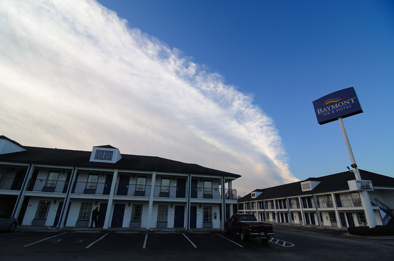
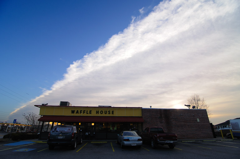
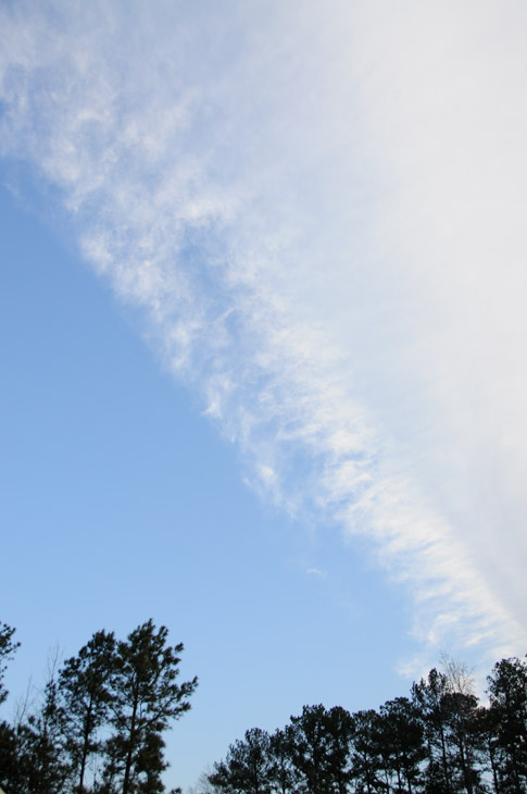
Purchase a print. My search for snow drove me north, where I saw the back edge of a storm that, ironically, brought some light wintry precipitation to Florida. These cloud shots were taken on the west side of Macon, Ga., as I took Interstate 95 north toward Atlanta.

web_wafflehouse_georgiastorm_0048_2453
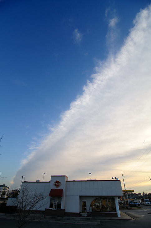
Purchase a print | This was the first time that I've seen such a clearly defined back edge to a large-scale storm system that covered all of Florida. I've seen such sights - though rarely with bright blue sky, like in this case - with the front of a much smaller thunderstorm, but never with the end of a large storm.

web_reddirt_georgiastorm_0020_2449
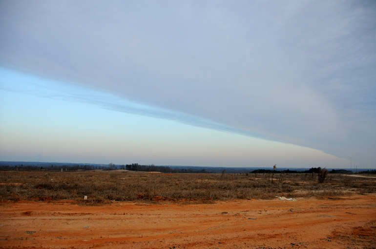
Purchase a print | This was taken a little earlier than the photos above, and it shows the cloud deck moving to the south as I pointed my camera to the north. For this shot, I ran down a steep embankment on the side of the roadway, nearly killing myself.

web_georgia_pano
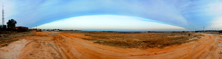
Click for larger sizes. This post-sunrise panorama was put together using nine shots similar to the previous one. As the storm moves to the south, this image shows a road over the red Georgia dirt that typifies much of the state. The road was frequented by tractor-trailer trucks that parked behind some commercial buildings in this area near Macon.


Snow was on my mind. It has been for most of the winter. It was a part of my childhood that was so ingrained, so commonplace, that I felt life wasn't right without it.

Last year was my first without seeing a single flake. The year before, my first winter in Florida, I visited Denver for a few days, where I was lucky enough to see a couple of inches while attending a conference. Last year, I did not travel northward during the winter and therefore didn't see the snow fly.

With unseasonably cold conditions in Florida two weeks ago - we had a stretch of days with lows in the upper 20s - I figured there was no sense to being in this supposedly "warm" climate. If it's going to be cold, I expect to see snow. But the odds of that happening weren't good in Florida. So I headed north.

It was a spontaneous decision. Two furlough days extended my weekend to four days, so I had the time to do something. But I never figured out what to do until I left work Friday night. For some reason, I thought a whirlwind tour of Appalachia, where there surely would be snow, was in order.

I went home, packed hurriedly and left at 2 a.m. amid a light, cold rain.

I drove through the night, up Florida's Turnpike toward the Georgia line. And the whole time, I couldn't help but to think I was making the wrong decision. Forecasters were saying there was a slight - a very slight - chance that Central Florida could see that cold rain turn to snow or sleet in the morning. Such a bizarre sight in the Sunshine State would be worth staying home for. But alas, I determined that it just wouldn't happen. Or that's what I told myself.

The cold front moved southward as I sped north. Near Lake City, in North Florida, the temperature dipped below freezing, and my mobile radar - on my iPhone - said there was snow in the air above me. But nothing hit the ground. Again, I figured I was wise to search for snow up north.

In central Georgia, just northwest of Macon, after refilling my car with gas and after the sun rose, the back edge of the storm system came into view. I've seen clearly defined storm fronts move overhead, but this marked the first time that I saw such definition on the backside of a large-scale system.

But it wasn't clouds I was seeking. It was snow. That would finally come just south of Atlanta, with a light film on roofs, car tops and roadsides. Georgia's signature red clay was sprinkled with flakes. Wooden signs, a light covering of snow on their top edges, advertised "authentic Georgia peaches, next exit." But a dusting wouldn't cut it for a Maine expatriate.

web_margaritaville_georgiasnow_0083_2458
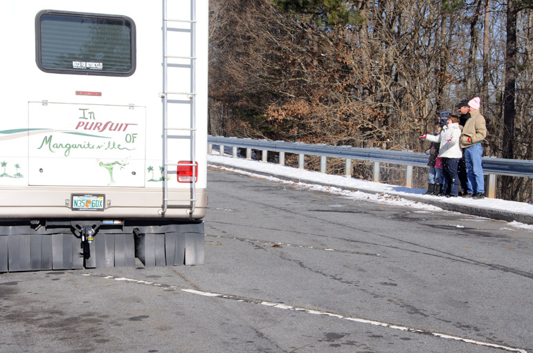
This Florida family, riding in a motor home with the words "In Pursuit of Margaritaville" emblazoned on the back, appeared to be on a quest for snow, as they toss it into the air. They stopped in a small turnout area near Ellijay, in northern Georgia, where there was a little more than an inch of snow on the ground.

A thicker blanket of white stuff came with an increase in elevation. From Atlanta, I hit the Piedmont, the foothills of the Blue Ridge Mountains in northern Georgia. I drove over the Appalachian Highway through towns like Ellijay, Blue Ridge and Mineral Bluff, all around or near Chattahoochee National Forest. When I finally stopped at a "scenic overlook" with a great view of ugly, bare trees, I ran into a family on the same mission to play in the snow.

But the conditions back home in Florida? Cold and sleety. Some areas even saw a faint accumulation. But it wasn't enough to make me want to turn around. My car kept climbing into the Appalachian Mountains, in search of deeper snow.


web_treetops_georgiastorm_0028_2450
The clouds move over the treetops in Macon.

web_krystal_georgiastorm_0044_2451
Purchase a print | The system moves over a Krystal fast-food restaurant in Macon. Krystal is the Southern equivalent of White Castle. They are somewhat sparse in Florida but apparently more prevalent in Georgia.

web_flag_georgiastorm_0061_2455
Purchase a print | A flag outside the Baymont Inn, shown earlier, is backdropped by the contrasting sky.

web_field_georgiastorm_0065_2456
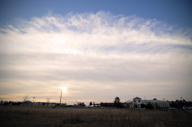
Purchase a print | I drove through the night, so when the sun rose, I finally caught a glimpse of this large system. Mind you, the sun didn't make the air much warmer; it was still in the 20s when I snapped this in southern Georgia. Brr.

web_moon_georgiastorm_0077_2457
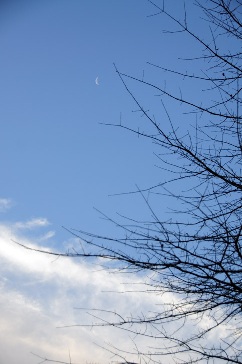
A crescent moon emerges from behind the clouds as they move quickly to the south. After this, I continued northward in the comfort of my heated motor vehicle.

Sunday, January 17, 2010

Who says there's no autumn in Florida? Leaves and other things in a ditch

web_leaves_floridahori_0029_2448
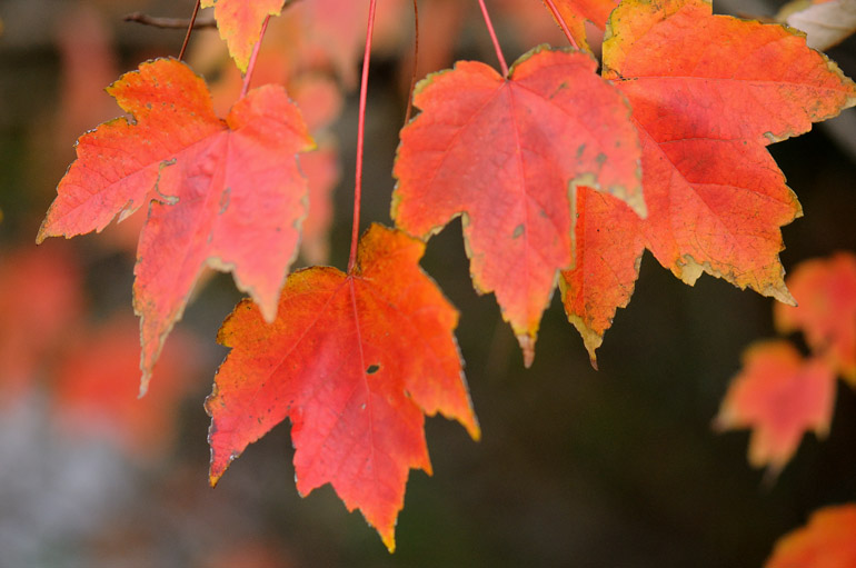
Florida maple leaves turn a bright red along Parkway Drive in Melbourne.


Many posts on The Offlede are driven by my own longing for home - for the sights, tastes and activities I grew up with in Maine. I flew there in October to take photos of fall foliage. I spent 20 days in December looking for signs of Christmas here in Florida that reminded me of the traditions I'm accustomed to during the holidays. And in the past two weeks, my search for ice and snow started here in Central Florida and ended way up north in mountainous West Virginia. There's more to come on that later.

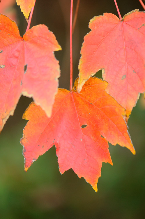
Sometimes, though, I just lose track of what lies under my nose here in Florida. Yes, the climate is subtropical, but there are elements of the north that still survive here. There are no apple trees or sugar maples, the things I frequently associate the autumn season with. We do have Florida maple trees, though. They don't provide the brilliant color that northerly varietals do, but it's something, and it's something that reminds me of home.

This week, during my daily jogs, I noticed that the trees along my route were changing colors. One was a nearly fluorescent yellow and blanketed a home's lawn with fallen leaves. The Florida maples, situated along a water-filled ditch, turned to a solid red. I took may camera out yesterday to record that fall indeed does show itself in Florida, however subtle - and late - it may be.

Maybe this place isn't so bad after all.


web_leaves_floridavert_0021_2447
After living here for more than two years, I'm beginning to notice the less dominant aspects of Florida's environment. Once I got beyond the shock of encountering palm trees at every turn, I saw the pine trees and maples, such as this one, that are reminiscent of my childhood in Maine, the "Pine Tree State."

web_leaves_ditch_0011_2446
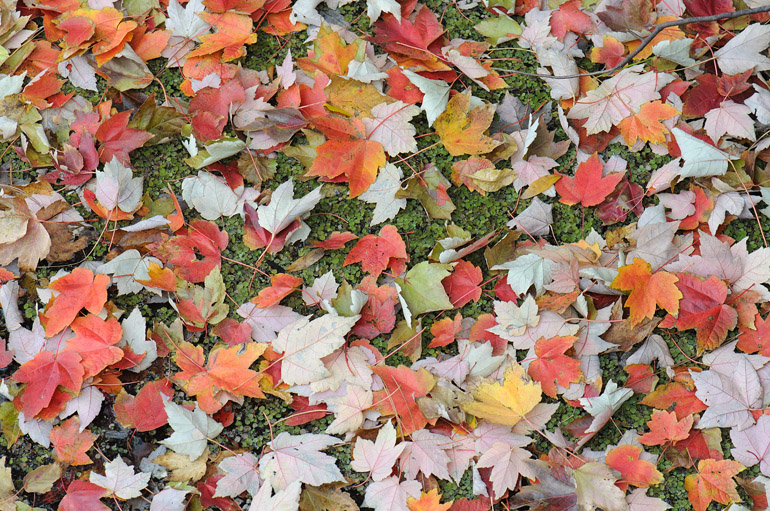
Fallen leaves cover the surface of a ditch.

web_car_accident_0069
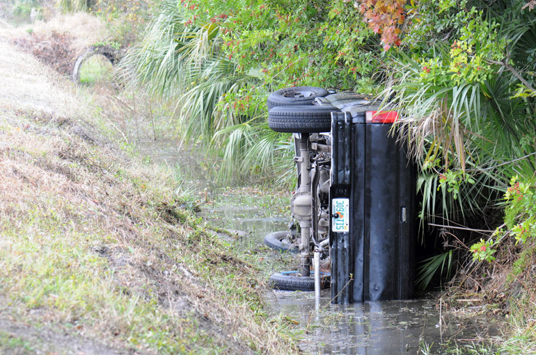
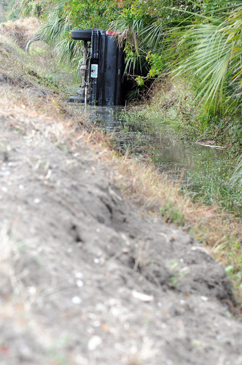
The leaves weren't the only things in the ditch. This single-car accident happened just as I arrived to take photos of the trees. The lone driver was unhurt.

web_car_accident_vert_0067
The young motorist became distracted, hit this soft embankment and flipped into the ditch.