
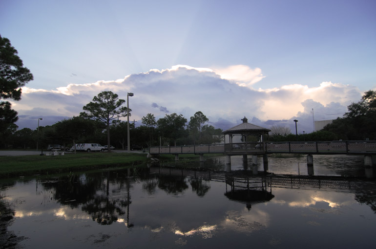
On Aug. 6, there was a significant thunderstorm on the western horizon. I was at work for this. It was late in the day, so the sun was setting behind a large anvil, and rays of light escaped from the top.
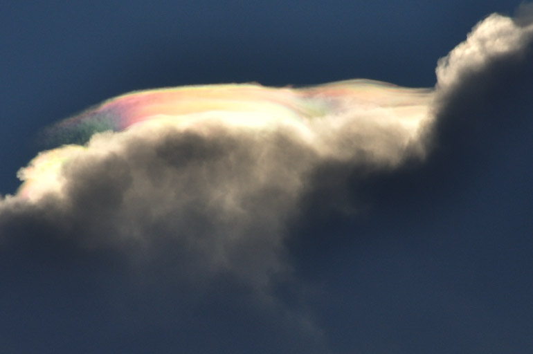
A colorful pileus formation appeared when sunlight filtered through moisture at the top of the cloud.

Here's more of a close-up of the wispy, iridescent clouds.

The iridescence was fleeting, and the storm itself only brushed Brevard County's western border. Melbourne didn't see a drop of rain that day, though conditions have been a little wetter here more recently.


No comments:
Post a Comment