
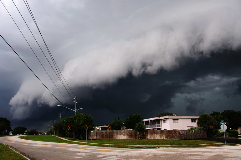
On Thursday, Brevard County experienced its first real rip-roaring thunderstorm of the summer. I was stepping out of the shower when I heard about a severe thunderstorm warning for the region. I quickly dressed and left for work early so I could stop and shoot if I saw anything worthwhile. Just 2 miles from my apartment, on Parkway Drive in Melbourne, I saw a shelf cloud coming out of the southwest.
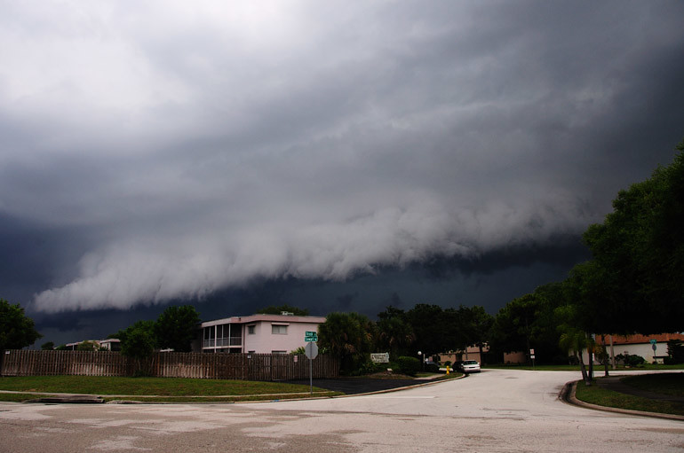
It was an impressive formation, but a very fast-moving one. The cloud was far into the distance when I first spotted it, but within five minutes, it was above me.
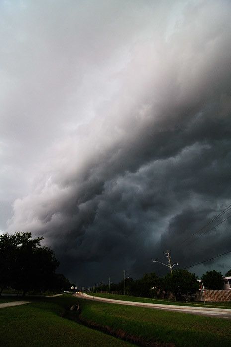
Last year's storm season got off to a similar start, with a well-defined shelf cloud. I missed its approach, however, and only shot its wind-torn, aquamarine underside, like you see above. For last year's version, go here.
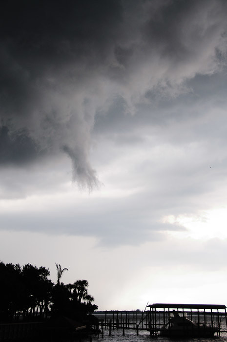
On the leading edge of shelf clouds, these "scuds" often form. They're low-hanging, wispy clouds often association with a storm front. This one was deceptive because it had a slender, funnel-like shape. Its lateral motion was rapid, but I couldn't see real rotation, so I knew it was just a scud. Here's a bigger example from last year.
No comments:
Post a Comment
For some reason, people would rather comment on links to The Offlede from my Facebook page. I'm trying to encourage more comments here, but if you would like to participate on Facebook, befriend me right now.
Note: Only a member of this blog may post a comment.